Iron Crag
Map

Gallery

Facts and practical information
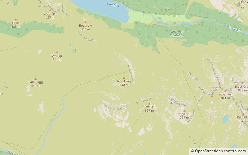
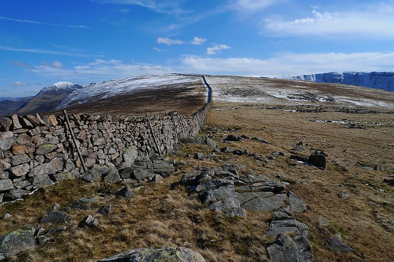
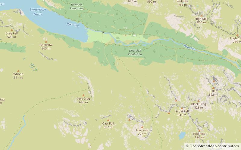
Iron Crag is a mountain in the English Lake District, standing between Crag Fell and Caw Fell. The name of the fell is the source of some confusion, as the summit is unnamed on Ordnance Survey maps. Iron Crag apparently refers to the rocky outcrop below the summit, while the lower slopes are referred to as Ennerdale Fell. The Western aspect of the lower slopes, facing Ennerdale Water is known as The Side. ()
Coordinates: 54°29'42"N, 3°21'18"W
Location
England
ContactAdd
Social media
Add
Day trips
Iron Crag – popular in the area (distance from the attraction)
Nearby attractions include: Scale Force, Bleaberry Tarn, Ennerdale Water, Haycock.


