Crystal Palace, London
Facts and practical information
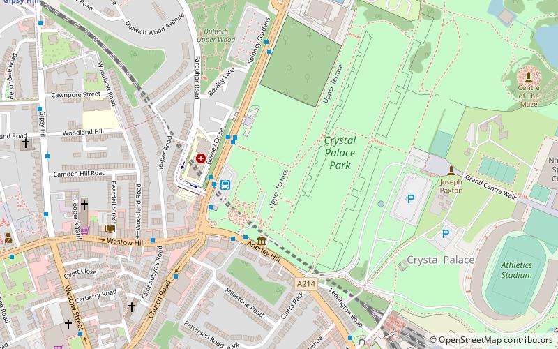
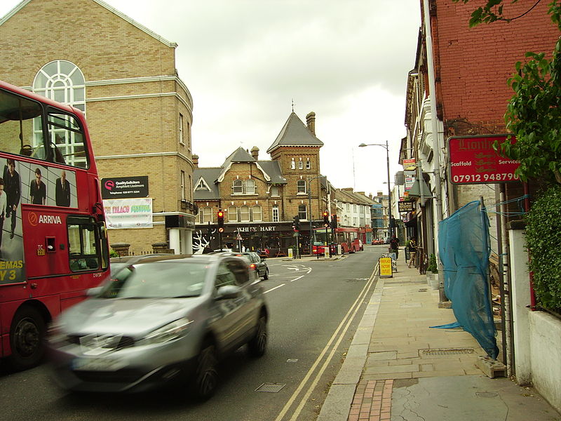
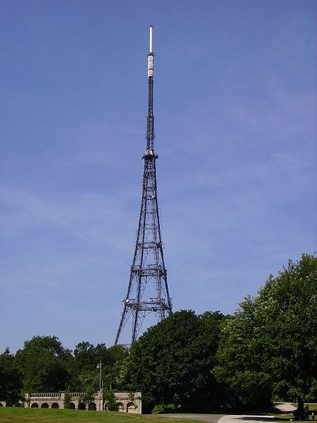
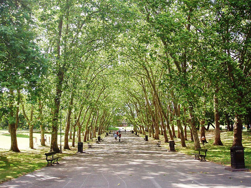
Crystal Palace is an area in south London, England, named after the Crystal Palace Exhibition building, which stood in the area from 1854 until it was destroyed by fire in 1936. Approximately 7 miles south-east of Charing Cross, it includes one of the highest points in London, at 367 feet, offering views over the capital. The area has no defined boundaries and straddles five London boroughs and three postal districts, although there is a Crystal Palace electoral ward and Crystal Palace Park in the London Borough of Bromley. It forms a part of the greater area known as Upper Norwood, and is contiguous with the areas of Anerley, Dulwich Wood, Gipsy Hill, Penge, South Norwood and Sydenham. ()
Bromley (Crystal Palace)London
Crystal Palace – popular in the area (distance from the attraction)
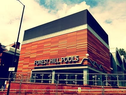
Nearby attractions include: Crystal Palace National Sports Centre, Forest Hill Pools, Dinosaur, West Norwood Cemetery.
Frequently Asked Questions (FAQ)
Which popular attractions are close to Crystal Palace?
How to get to Crystal Palace by public transport?
Train
- Crystal Palace (4 min walk)
- Penge West (12 min walk)
Bus
- Crystal Palace Station • Lines: 157, 249, 358, 410, 432, N3 (5 min walk)
- Hamlet Road • Lines: 157, 249, 358, 410, 432, N3 (7 min walk)
Tram
- Birkbeck • Lines: 2 (33 min walk)
- Avenue Road • Lines: 2 (33 min walk)



 Tube
Tube
