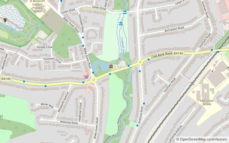
John Morris Jones Walkway, Birmingham
Map
Facts and practical information
John Morris Jones Walkway is a path on the River Cole in Hall Green, Birmingham, England. It is part of the Shire Country Park. ()
Coordinates: 52°26'3"N, 1°51'21"W
Address
Hall GreenBirmingham
ContactAdd
Social media
Add
Getting there by public transportation
Public transportation stops near this location
- Train
 Train
Train
- Calculate routeHall Green 13 min walk
- Calculate routeYardley Wood 24 min walk
- Calculate routeSpring Road 28 min walk
Day trips


Frequently Asked Questions (FAQ)
Which popular attractions are close to John Morris Jones Walkway?
Nearby attractions include Sarehole Mill, Birmingham (2 min walk), Shire Country Park, Birmingham (4 min walk), Moseley Bog, Birmingham (11 min walk), Swanshurst Park, Birmingham (12 min walk).
How to get to John Morris Jones Walkway by public transport?
The nearest stations to John Morris Jones Walkway:
Train
Train
- Hall Green (13 min walk)
- Yardley Wood (24 min walk)