Troxy, London
Map

Gallery

Facts and practical information
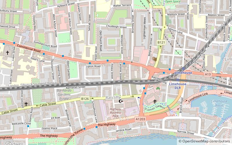
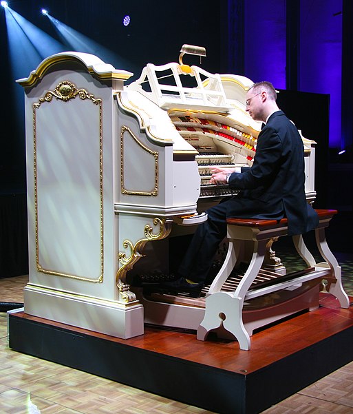
Troxy is a Grade II-listed Art Deco music venue on Commercial Road in Stepney, London. Built as a cinema in 1933, it closed in 1960 and became a training school for the London Opera Centre. In the 1980s the building was used as a bingo hall, and the Troxy was converted to a live events space in 2006. The building is considered a vital part of East London's history and was Grade II listed in 1990. It has a capacity of 3,100. ()
Opened: 11 September 1933 (92 years ago)Architectural style: Art DecoCapacity: 3100Coordinates: 51°30'46"N, 0°2'38"W
Day trips
Troxy – popular in the area (distance from the attraction)
Nearby attractions include: Limehouse Basin, Tobacco Dock, The Grapes, King Edward Memorial Park.
Frequently Asked Questions (FAQ)
When is Troxy open?
Troxy is open:
- Monday 10 am - 6 pm
- Tuesday 10 am - 6 pm
- Wednesday 10 am - 6 pm
- Thursday 10 am - 6 pm
- Friday 10 am - 6 pm
- Saturday closed
- Sunday closed
Which popular attractions are close to Troxy?
Nearby attractions include Arbour Square, London (6 min walk), St Dunstan's, London (8 min walk), Commercial Road Lock, London (9 min walk), King Edward Memorial Park, London (9 min walk).
How to get to Troxy by public transport?
The nearest stations to Troxy:
Light rail
Train
Bus
Metro
Ferry
Light rail
- Limehouse Platform 4 • Lines: B-L, B-Wa, Tg-B (5 min walk)
- Shadwell Platform 2 • Lines: B-L, B-Wa, Tg-B (14 min walk)
Train
- Limehouse (6 min walk)
- Shadwell (15 min walk)
Bus
- Stepney Green School • Lines: 309 (11 min walk)
- Harford Street • Lines: 309 (11 min walk)
Metro
- Stepney Green • Lines: District, Hammersmith & City (17 min walk)
- Whitechapel • Lines: District, Hammersmith & City (23 min walk)
Ferry
- Doubletree Docklands Nelson Dock • Lines: Rb4 (20 min walk)
- Canary Wharf • Lines: Rb1, Rb1X, Rb4, Rb6 (22 min walk)

 Tube
Tube


