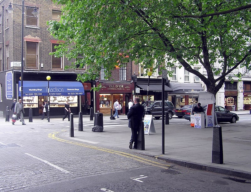
Clerkenwell, London

Gallery (4)
Map


Map
Gallery
Facts and practical information
Clerkenwell is an area of central London, England. ()
Address
Islington (Clerkenwell)London
ContactAdd
Social media
Add
Getting there by public transportation
Public transportation stops near this location
- Metro
- Bus
- Light rail
- Train
- Ferry
 Metro
Metro
- Calculate routeClerkenwell Green 3 min walk
- Calculate routeSt John Street 3 min walk
- Calculate routePercival Street 3 min walk
- Calculate routeAylesbury Street 4 min walk
- Calculate routeFarringdon 6 min walk
- Calculate routeBarbican 10 min walk
- Calculate routeChancery Lane 13 min walk
- Calculate routeAngel 15 min walk
- Calculate routeCity Thameslink 15 min walk
- Calculate routeLondon Blackfriars 24 min walk
- Calculate routeLondon King's Cross 25 min walk
- Calculate routeBank 26 min walk
- Calculate routeBlackfriars Pier 24 min walk
- Calculate routeBankside Pier 28 min walk
- Calculate routeFestival Pier 33 min walk
- Calculate routeEmbankment 35 min walk
- Calculate routeBank Platform 10 28 min walk
Maps Tube
Tube
TubeDay trips
Clerkenwell – popular in the area (distance from the attraction)
Nearby attractions include: Fabric, Hatton Garden, Leather Lane, Gray's Inn.


Frequently Asked Questions (FAQ)
Which popular attractions are close to Clerkenwell?
Nearby attractions include Clerkenwell Green, London (2 min walk), St John Clerkenwell, London (3 min walk), Museum of the Order of St John, London (5 min walk), St Peter's Italian Church, London (5 min walk).
How to get to Clerkenwell by public transport?
The nearest stations to Clerkenwell:
Bus
Metro
Train
Ferry
Light rail
Bus
- Clerkenwell Green • Lines: 55, N55 (3 min walk)
- St John Street • Lines: 55, N55 (3 min walk)
Metro
- Farringdon • Lines: Circle, Hammersmith & City, Metropolitan (6 min walk)
- Barbican • Lines: Circle, Hammersmith & City, Metropolitan (10 min walk)
Train
- City Thameslink (15 min walk)
- London Blackfriars (24 min walk)
Ferry
- Blackfriars Pier • Lines: Rb6 (24 min walk)
- Bankside Pier • Lines: Green Tour, Rb1, Rb1X, Rb2 (28 min walk)
Light rail
- Bank Platform 10 • Lines: B-L, B-Wa (28 min walk)