St John Clerkenwell, London
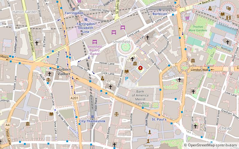
Map
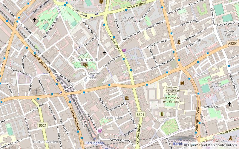
Map

Facts and practical information
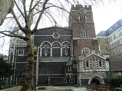
St John Clerkenwell is a former parish church in Clerkenwell, London, its original priory church site retains a crypt and has been given over to the London chapel of the modern Order of St John. It is a square, light-brick resurrection of the small church of Clerkenwell Priory – the crypt of which is beneath – without a spire or tower. Its three centuries of former decline reflected the disbandment of the medieval Order of St John, or Knights Hospitaller. ()
Coordinates: 51°31'23"N, 0°6'11"W
Address
49 St John's Square EC1V 4JJIslington (Clerkenwell)London
Contact
+44 20 7324 4567
Social media
Add
Day trips
St John Clerkenwell – popular in the area (distance from the attraction)
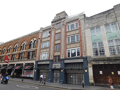
Nearby attractions include: Fabric, Hatton Garden, Leather Lane, Turnmills.
Frequently Asked Questions (FAQ)
Which popular attractions are close to St John Clerkenwell?
Nearby attractions include Clerkenwell Green, London (2 min walk), Museum of the Order of St John, London (2 min walk), Clerkenwell, London (3 min walk), Farringdon, London (4 min walk).
How to get to St John Clerkenwell by public transport?
The nearest stations to St John Clerkenwell:
Bus
Metro
Train
Ferry
Light rail
Bus
- St John Street / Clerkenwell Road • Lines: 153 (1 min walk)
- St John Street • Lines: 55, N55 (2 min walk)
Metro
- Farringdon • Lines: Circle, Hammersmith & City, Metropolitan (6 min walk)
- Barbican • Lines: Circle, Hammersmith & City, Metropolitan (7 min walk)
Train
- City Thameslink (14 min walk)
- London Blackfriars (23 min walk)
Ferry
- Blackfriars Pier • Lines: Rb6 (23 min walk)
- Bankside Pier • Lines: Green Tour, Rb1, Rb1X, Rb2 (27 min walk)
Light rail
- Bank Platform 10 • Lines: B-L, B-Wa (26 min walk)

 Tube
Tube