Summerston, Glasgow
Map

Map

Facts and practical information
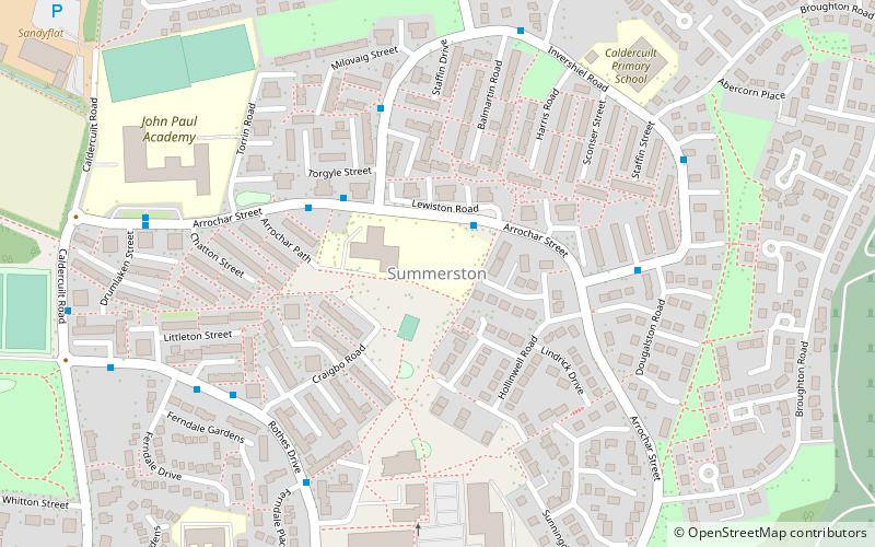
Summerston is a residential area of Glasgow, Scotland. With most of the housing constructed in the 1970s, it is situated in the far north of the city and is considered to be part of the larger Maryhill district, but has a different postcode; other nearby neighbourhoods are Gilshochill to the south and Cadder to the south-east. With open farmland to the north-east, Summerston is separated from the southern parts of the town of Bearsden to the north-west by the River Kelvin and a golf course. ()
Coordinates: 55°54'11"N, 4°17'27"W
Day trips
Summerston – popular in the area (distance from the attraction)
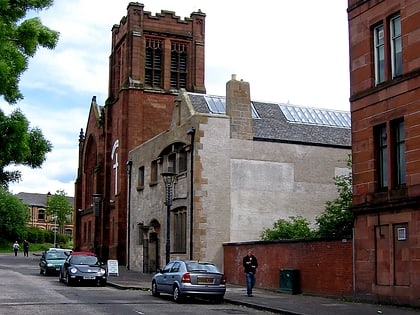
Nearby attractions include: Ruchill Church Hall, Ruchill Parish Church, Ruchill Park, Dawsholm Park.
Frequently Asked Questions (FAQ)
Which popular attractions are close to Summerston?
Nearby attractions include Cadder, Glasgow (19 min walk), Stockingfield Junction, Glasgow (19 min walk), Kelvin Aqueduct, Glasgow (22 min walk), Maryhill Burgh Halls, Glasgow (22 min walk).
How to get to Summerston by public transport?
The nearest stations to Summerston:
Bus
Train
Bus
- Summerston, Arrochar Street/ Adult Training Ctr • Lines: 61, 7, 7A (2 min walk)
Train
- Summerston (8 min walk)
- Gilshochill (14 min walk)


