Dukinfield Moravian Church, Ashton-under-Lyne

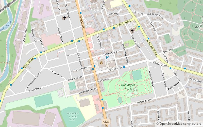
Map
Facts and practical information
Dukinfield Moravian Church was founded in Dukinfield, Cheshire, England in 1755 following a period of evangelistic work in the area by Moravians from 1742. It now stands within the Tameside Metropolitan Borough, Greater Manchester. ()
Coordinates: 53°28'9"N, 2°4'27"W
Address
Tameside (Dukinfield Stalybridge)Ashton-under-Lyne
ContactAdd
Social media
Add
Day trips
Dukinfield Moravian Church – popular in the area (distance from the attraction)
Nearby attractions include: Dukinfield Town Hall, Dukinfield Junction, St John's Church, Ashton Canal.
Frequently Asked Questions (FAQ)
Which popular attractions are close to Dukinfield Moravian Church?
Nearby attractions include St John's Church, Ashton-under-Lyne (14 min walk), Dukinfield, Ashton-under-Lyne (20 min walk).
How to get to Dukinfield Moravian Church by public transport?
The nearest stations to Dukinfield Moravian Church:
Bus
Train
Bus
- Ashton Road/Hyde Mill • Lines: 343 (10 min walk)
- Bennett Street/Cheshire Cheese • Lines: 343 (12 min walk)
Train
- Hyde North (15 min walk)
- Flowery Field (16 min walk)


