Woodgate Valley Country Park, Birmingham
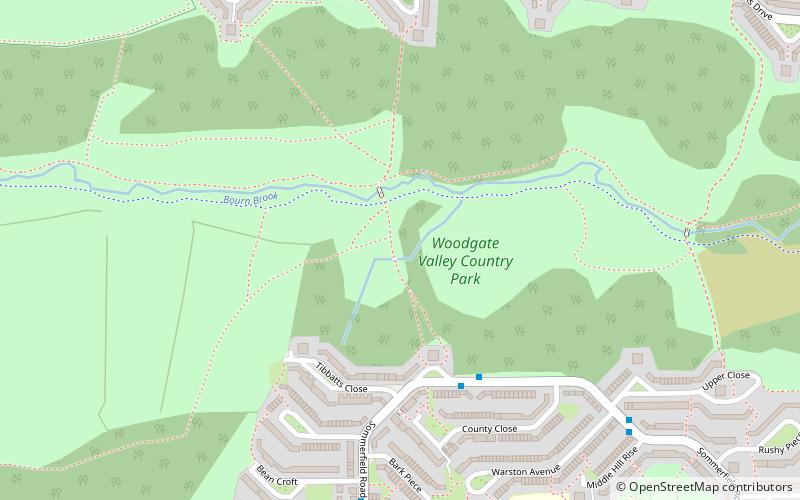
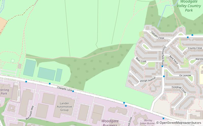
Map

Map

Facts and practical information
Woodgate Valley Country Park is a Country Park within the Bartley Green and Quinton districts of Birmingham. It is the third largest Birmingham Country Park after Sutton Park and Lickey Hills Country Park. The park is maintained as a wildlife habitat but also has farm animals. ()
Coordinates: 52°26'53"N, 1°59'46"W
Address
Bartley GreenBirmingham
ContactAdd
Social media
Add
Day trips
Woodgate Valley Country Park – popular in the area (distance from the attraction)
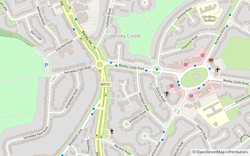
Nearby attractions include: Senneleys Park, Weoley Castle, Weoley Castle, Lapal Tunnel.
Frequently Asked Questions (FAQ)
Which popular attractions are close to Woodgate Valley Country Park?
Nearby attractions include Lapal Tunnel, Birmingham (9 min walk), Senneleys Park, Birmingham (23 min walk).
How to get to Woodgate Valley Country Park by public transport?
The nearest stations to Woodgate Valley Country Park:
Bus
Bus
- Hagley Road West / Quinton Lane Island • Lines: X8 (27 min walk)


