Bridge Eyot, Maidenhead

Gallery (1)
Map
Map
Facts and practical information
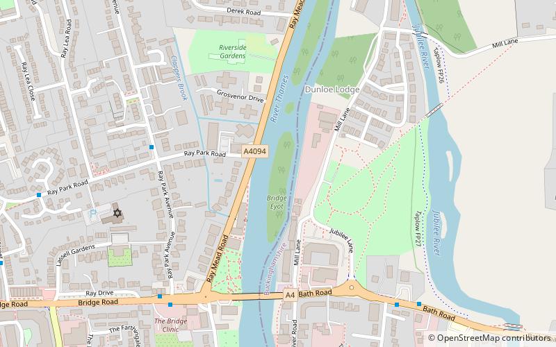
Bridge Eyot also known as Bridge Ait is an island in the River Thames in England just above Maidenhead Bridge on the reach above Bray Lock, near Maidenhead, Berkshire. The island is owned by the Royal Borough of Windsor and Maidenhead. ()
Address
Maidenhead
ContactAdd
Social media
Add
Getting there by public transportation
Public transportation stops near this location
- Bus
- Train
 Bus
Bus
- Calculate routeMaidenhead Bridge 6 min walk
- Calculate routeEllington Road 7 min walk
- Calculate routeWaldeck Road 12 min walk
- Calculate routeThe Dumb Bell 13 min walk
- Calculate routeTaplow 23 min walk
- Calculate routeMaidenhead 28 min walk
- Calculate routeFurze Platt 32 min walk
Day trips


Frequently Asked Questions (FAQ)
Which popular attractions are close to Bridge Eyot?
Nearby attractions include Maidenhead Bridge, Maidenhead (5 min walk), Maidenhead Synagogue, Maidenhead (5 min walk), Maidenhead Railway Bridge, Maidenhead (10 min walk), All Nations Bible College, Maidenhead (16 min walk).
How to get to Bridge Eyot by public transport?
The nearest stations to Bridge Eyot:
Bus
Train
Bus
- Maidenhead Bridge • Lines: 15, 4, 63, 68 (6 min walk)
- Ellington Road • Lines: 15, 4, 63, 68 (7 min walk)
Train
- Taplow (23 min walk)
- Maidenhead (28 min walk)