Seatallan, Eskdale Green

Gallery (2)
Map
Map
Gallery
Facts and practical information
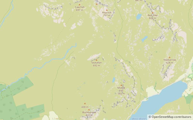
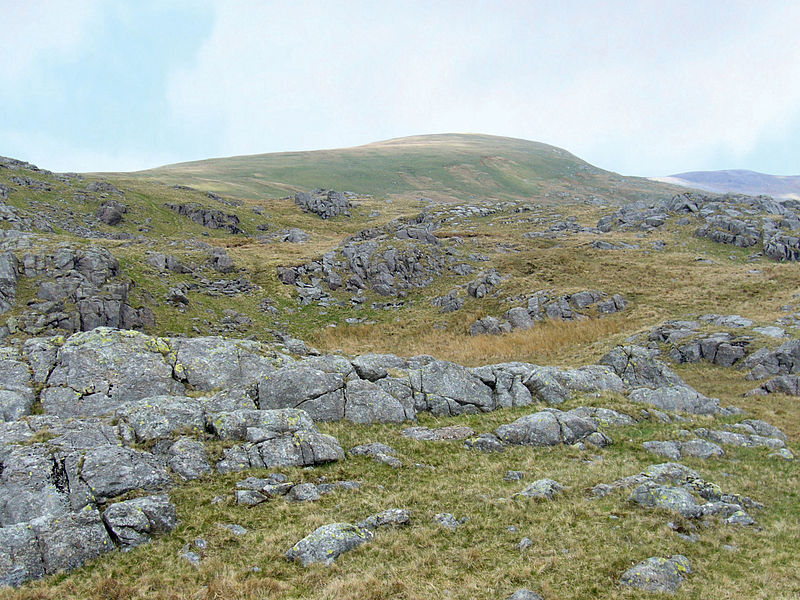
Seatallan is a mountain in the western part of the English Lake District. It is rounded, grassy and fairly unassuming, occupying a large amount of land. However, it is classed as a Marilyn because of the low elevation of the col connecting it to Haycock, its nearest higher neighbour to the north. The name Seatallan is believed to have a Cumbric origin, meaning "Aleyn's high pasture". ()
Coordinates: 54°27'49"N, 3°19'44"W
Address
Eskdale Green
ContactAdd
Social media
Add
Day trips