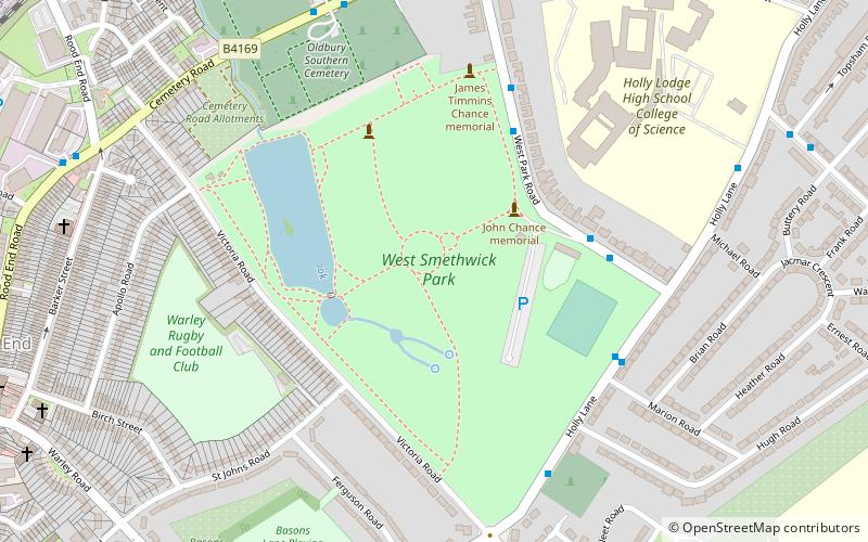
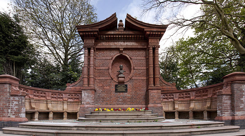
West Smethwick Park, Birmingham

Gallery (3)
Map
Map
Gallery
Facts and practical information
West Smethwick Park is a public park in the St Pauls ward of Smethwick, England. It opened on 7 September 1895. ()
Created: 7 September 1895Elevation: 587 ft a.s.l.Coordinates: 52°29'46"N, 1°59'28"W
Getting there by public transportation
Public transportation stops near this location
- Bus
- Tram
- Train
 Bus
Bus
- Calculate routeSmethwick Galton Bridge 16 min walk
- Calculate routeLangley Green 17 min walk
- Calculate routeSmethwick Rolfe Street 23 min walk
- Calculate routeSandwell and Dudley 32 min walk
- Calculate routeRolfe St / Rolfe St Station 22 min walk
- Calculate routeKenrick Park 24 min walk
- Calculate routeTrinity Way 28 min walk
- Calculate routeThe Hawthorns 33 min walk
Day trips


Frequently Asked Questions (FAQ)
Which popular attractions are close to West Smethwick Park?
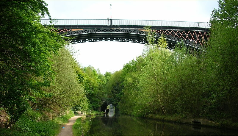
Nearby attractions include Galton Bridge, Birmingham (15 min walk), Summit Bridge (19 min walk), Langley Maltings (19 min walk), Stewart Aqueduct, Birmingham (19 min walk).
How to get to West Smethwick Park by public transport?
The nearest stations to West Smethwick Park:
Train
Bus
Tram
Train
- Smethwick Galton Bridge (16 min walk)
- Langley Green (17 min walk)
Bus
- Rolfe St / Rolfe St Station • Lines: Sb (22 min walk)
Tram
- Kenrick Park • Lines: 1 (24 min walk)
- Trinity Way • Lines: 1 (28 min walk)