Trek Zone

Joldwynds, Cranleigh
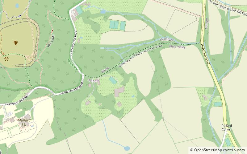
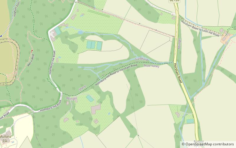
#3 among attractions in Cranleigh

Modernist architecture
Joldwynds location map
Map

Facts and practical information

Coordinates: 51°10'27"N, 0°24'50"W
Address

Cranleigh United Kingdom

ContactAdd
Social media
Add
Day trips

Joldwynds – popular in the area (distance from the attraction)

Nearby attractions include: Leith Hill, Piney Copse, Holmbury Hill, Hurt Wood Mill.

  • leith hill1.6 miE
  • piney copse3.3 miN
  • holmbury hill location map
    ~460 ftNE
  • hurt wood mill cranleigh2.3 miW
  • old st peter and st pauls church4.2 miNW
  • greensand way1.7 miE
  • st jamess church2 miN
  • abinger castle dorking1.9 miN
  • albury park4.1 miNW
  • farley green chilworth3.5 miNW
  • oxmoor copse east horsley2.6 miN

Where to next? Visit england England region page or discover the top tourist attractions in United Kingdom.