Peake Wood, Swanmore
#3 among attractions in Swanmore

Facts and practical information
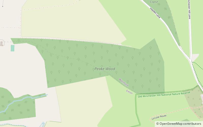
Peake Wood is a 17.7-hectare biological Site of Special Scientific Interest west of Petersfield in Hampshire. ()
Swanmore United Kingdom
Swanmore plan & book
Unleash the traveler in you — discover the cheapest flight deals, find the perfect hotel or hostel nearby, and search for the best car rental prices. Travel at your own pace to discover new places and enjoy your journey.
Peake Wood – popular in the area (distance from the attraction)
Nearby attractions include: Meon Valley Railway Line, Itchen Way, Riversdown English Immersions, Beacon Hill.
 Hiking, Hiking trail
Meon Valley Railway Line, South Downs National Park
38 min walk • The Meon Valley Railway was a cross-country railway in Hampshire, England, that ran for 22+1⁄4 miles between Alton and Fareham, closely following the course of the River Meon.
 Hiking, Hiking trail
Itchen Way, South Downs National Park
116 min walk • The Itchen Way is a 31.80-mile long-distance footpath following the River Itchen in Hampshire, England, from its source near Hinton Ampner House to its mouth at Woolston. The walk finishes at Sholing railway station.

 Nature, Natural attraction, Hill
Beacon Hill, South Downs National Park
60 min walk • Beacon Hill, Warnford is a 46.4-hectare biological Site of Special Scientific Interest west of Warnford in Hampshire. It is a Nature Conservation Review site, and an area of 40.1 hectares is a national nature reserve.
 Forts and castles
Old Winchester Hill, South Downs National Park
18 min walk • Old Winchester Hill is a 66.2-hectare biological Site of Special Scientific Interest in Hampshire. It is a Nature Conservation Review site, Grade I, and a national nature reserve. Part of it is a scheduled monument.
 Church, Gothic architecture
All Saints Church, South Downs National Park
66 min walk • All Saints Church is an Anglican parish church in the village of East Meon, Hampshire, England. It is a Grade I listed building and the oldest building in the village, lying so tight to a hill to the north of the village – part of the South Downs – that there was no room for a north aisle to be built.
 Nature, Natural attraction, Hill
South Downs, South Downs National Park
123 min walk • The South Downs are a range of chalk hills that extends for about 260 square miles across the south-eastern coastal counties of England from the Itchen valley of Hampshire in the west to Beachy Head, in the Eastbourne Downland Estate, East Sussex, in the east.
 Church, Gothic Revival architecture
Holy Trinity Church, South Downs National Park
103 min walk • The Church of the Holy Trinity, Privett, is a redundant Anglican church in the parish of Froxfield, Hampshire. It is recorded in the National Heritage List for England as a designated Grade II* listed building, and is under the care of the Churches Conservation Trust.
 Nature, Natural attraction, Hill
Henwood Down, South Downs National Park
35 min walk • Henwood Down is one of the highest points in the county of Hampshire, England, and in the South Downs, reaching a height of 201 metres above sea level. Its prominence of 64 metres qualifies it as a Tump.
 Museum, Reportedly haunted, History museum
Hinton Ampner, South Downs National Park
117 min walk • Hinton Ampner is a village and country house estate with gardens within the civil parish of Bramdean and Hinton Ampner, near Alresford, Hampshire, England. The village and house are 8 miles due east of Winchester.
 Nightlife
Bat & Ball Inn, Waterlooville
100 min walk • The Bat & Ball Inn near Clanfield, Hampshire, England, is an historic eighteenth-century pub situated opposite the Broadhalfpenny Down cricket ground, the original home of the Hambledon Club. It is traditionally, though erroneously, called "the cradle of cricket".


