Alderman's Barrow, Exmoor National Park
Map

Map

Facts and practical information
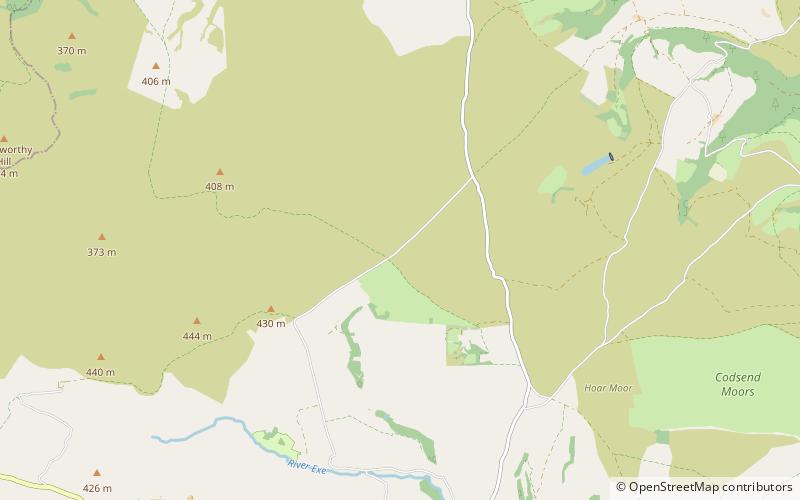
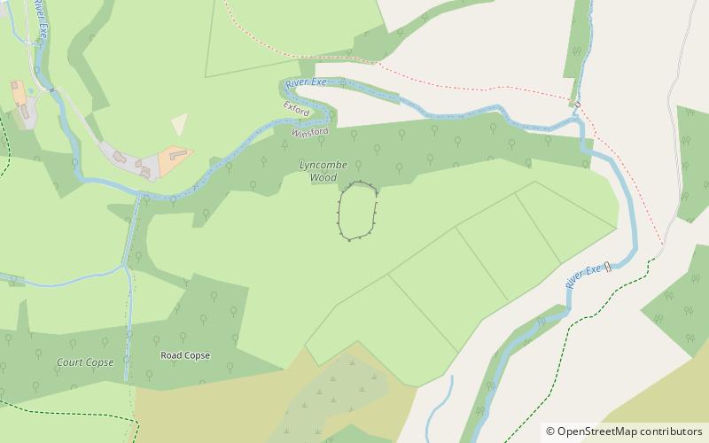
Alderman's Barrow is a bowl barrow on Exmoor. It was created as a burial chamber in the Bronze Age and subsequently became a marker for the boundary of the parishes of Exford, Exmoor, Luccombe and Porlock. It was known as Osmunesburgh in the 13th century, Owlaman's Burrow in the 17th century and was named Alderman's Barrow in 1782. It was protected as a scheduled monument in 1934. ()
Coordinates: 51°10'6"N, 3°39'55"W
Address
Exmoor National Park
ContactAdd
Social media
Add
Day trips
Alderman's Barrow – popular in the area (distance from the attraction)
Nearby attractions include: Coleridge Way, Dunkery Hill, Culbone Church, Church of St Dubricius.


