Altitude 25, Warlingham
Map

Map

Facts and practical information
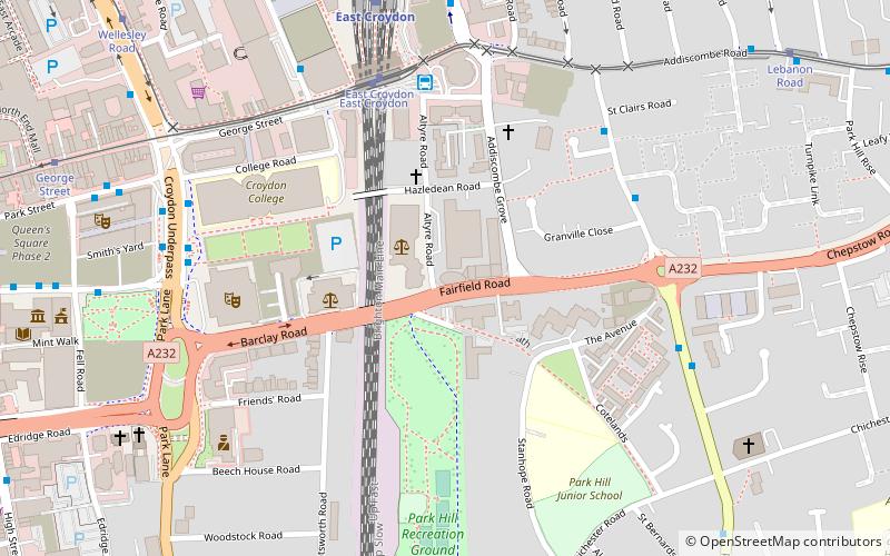
Altitude 25 is an apartment building on Fairfield Road in the London Borough of Croydon, London. It is Croydon's fourth tallest building. The development was intended to regenerate a brownfield site near to East Croydon station. The building was completed in 2009, and has 26 floors of apartments up to floor 25, hence the name Altitude 25, a roof height of 82.00 and a structural height of 94 m. It is part of the Croydon Vision 2020 regeneration project for a new generation of buildings in the town. ()
Coordinates: 51°22'21"N, 0°5'29"W
Address
Croydon (Fairfield)Warlingham
ContactAdd
Social media
Add
Day trips
Altitude 25 – popular in the area (distance from the attraction)
Nearby attractions include: St George's Walk, Whitgift Centre, Centrale, Queen's Gardens.
Frequently Asked Questions (FAQ)
Which popular attractions are close to Altitude 25?
Nearby attractions include No. 1 Croydon, Warlingham (5 min walk), Ashcroft Theatre, Warlingham (5 min walk), Fairfield Halls, Warlingham (5 min walk), Park Hill Recreation Ground, London (6 min walk).
How to get to Altitude 25 by public transport?
The nearest stations to Altitude 25:
Bus
Tram
Train
Bus
- East Croydon Station • Lines: 119, 194, 197, 198, 312, 367, 410, 433, 466, 64, 689, N250, N68, X26 (5 min walk)
- East Croydon Bus Station • Lines: 119, 194, 198, 367, 433, 466, 64, 689 (5 min walk)
Tram
- East Croydon • Lines: 2, 3, 4 (5 min walk)
- Lebanon Road • Lines: 2, 3, 4 (9 min walk)
Train
- East Croydon (7 min walk)
- West Croydon (17 min walk)


