Locksbrook, Bath
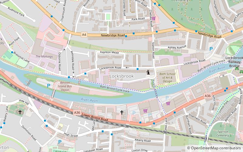
Map
Facts and practical information
Locksbrook is a light industrial and residential area in the west of Bath, England. It straddles the electoral wards of Newbridge and Kingsmead. ()
Coordinates: 51°22'57"N, 2°23'27"W
Address
Bath
ContactAdd
Social media
Add
Getting there by public transportation
Public transportation stops near this location
- Bus
- Train
 Bus
Bus
- Calculate routeOldfield Park 14 min walk
- Calculate routeP&R Newbridge 22 min walk
- Calculate routeGreen Park Road Gb 28 min walk
- Calculate routeOldfield Road 28 min walk
Day trips


Frequently Asked Questions (FAQ)
Which popular attractions are close to Locksbrook?
Nearby attractions include Weston Lock, Bath (7 min walk), Locksbrook Cemetery, Bath (8 min walk), Bath City Farm, Bath (14 min walk), Newbridge, Bath (14 min walk).
How to get to Locksbrook by public transport?
The nearest stations to Locksbrook:
Train
Bus
Train
- Oldfield Park (14 min walk)
Bus
- P&R Newbridge • Lines: 21 (22 min walk)
- Green Park Road Gb • Lines: 418 (28 min walk)