Croydon Palace, Warlingham
Map

Map

Facts and practical information
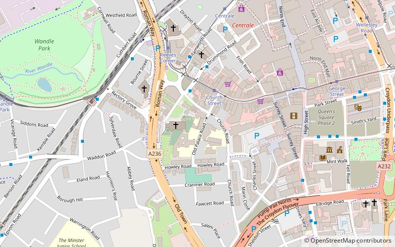
Croydon Palace, in Croydon, now part of south London, was the summer residence of the Archbishop of Canterbury for over 500 years. Regular visitors included Henry III and Queen Elizabeth I. Now known as "Old Palace", the buildings are still in use as the Old Palace School, an independent girls' school of the Whitgift Foundation. ()
Coordinates: 51°22'22"N, 0°6'18"W
Address
Croydon (Fairfield)Warlingham
ContactAdd
Social media
Add
Day trips
Croydon Palace – popular in the area (distance from the attraction)
Nearby attractions include: St George's Walk, Whitgift Centre, Centrale, Queen's Gardens.
Frequently Asked Questions (FAQ)
Which popular attractions are close to Croydon Palace?
Nearby attractions include Croydon Minster, London (2 min walk), Church Street tram stop, Warlingham (2 min walk), Croydon, London (4 min walk), Surrey Street Market, London (5 min walk).
How to get to Croydon Palace by public transport?
The nearest stations to Croydon Palace:
Tram
Bus
Train
Tram
- Church Street • Lines: 2, 3, 4 (2 min walk)
- Reeves Corner • Lines: 2, 4 (4 min walk)
Bus
- Church Street Tram Stop • Lines: 157, 264, 407, 410, 455, 645 (3 min walk)
- Reeves Corner • Lines: 157, 264, 407, 410, 455, 645 (4 min walk)
Train
- West Croydon (12 min walk)
- East Croydon (15 min walk)


