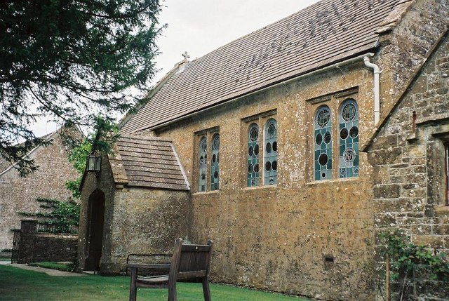
Mapperton House, Beaminster

Gallery (2)
Map
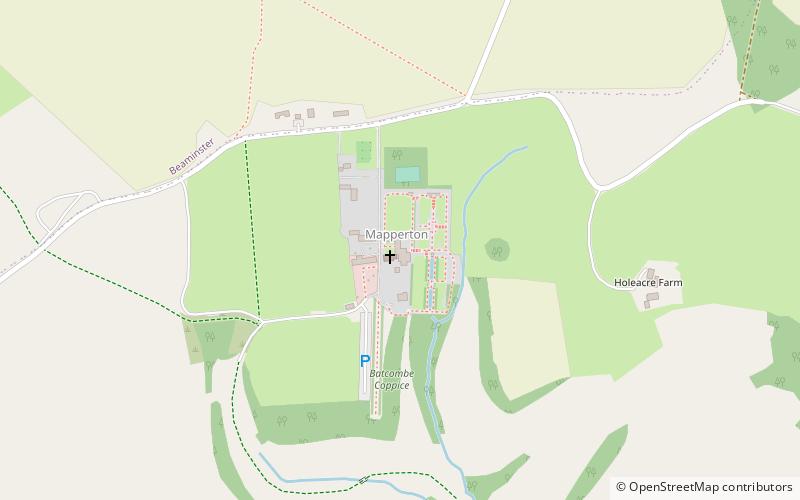
Map
Gallery
Facts and practical information
Mapperton is a hamlet and civil parish in Dorset, England, 3 miles south-east of Beaminster. Dorset County Council estimated that the population of the parish was 60 in 2013. ()
Day trips


