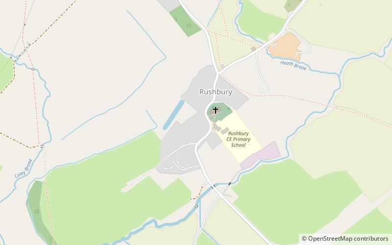
Shropshire Hills, Church Stretton
Map

Map

Facts and practical information
The Shropshire Hills is an upland area and one of the natural regions of England. They lie wholly within the county of Shropshire and encompass several distinctive and well-known landmarks, such as the Long Mynd, Wenlock Edge, The Wrekin and the Clees. ()
Coordinates: 52°31'19"N, 2°43'8"W
Address
Church Stretton
ContactAdd
Social media
Add
Day trips
Shropshire Hills – popular in the area (distance from the attraction)
Nearby attractions include: Caer Caradoc, Corvedale Three Castles Walk, St Laurence's Church, Rectory Wood.


