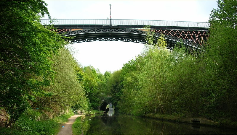
Thimblemill Library

Gallery (1)
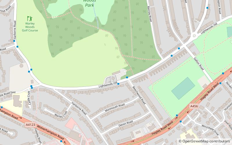
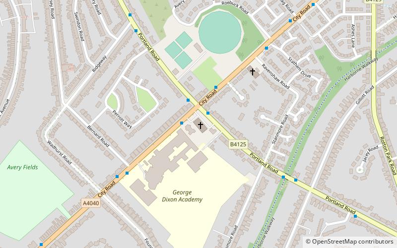
Map
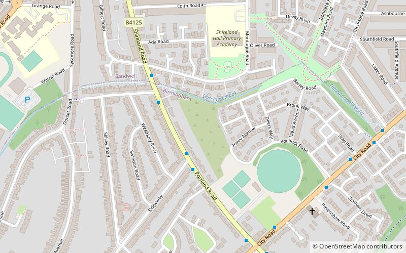
Map
Facts and practical information
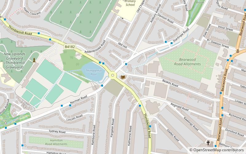
Thimblemill Library is located in Smethwick, in the Metropolitan Borough of Sandwell. It was built in 1937 and designed by Smethwick Borough engineer Roland Fletcher and Chester Button, an architect. ()
Coordinates: 52°28'54"N, 1°58'35"W
Location
England
ContactAdd
Social media
Add
Day trips