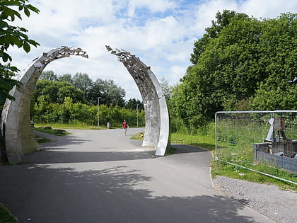
Shawfield, Glasgow

Facts and practical information
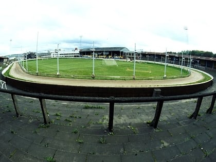
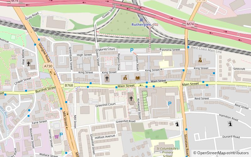
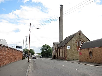
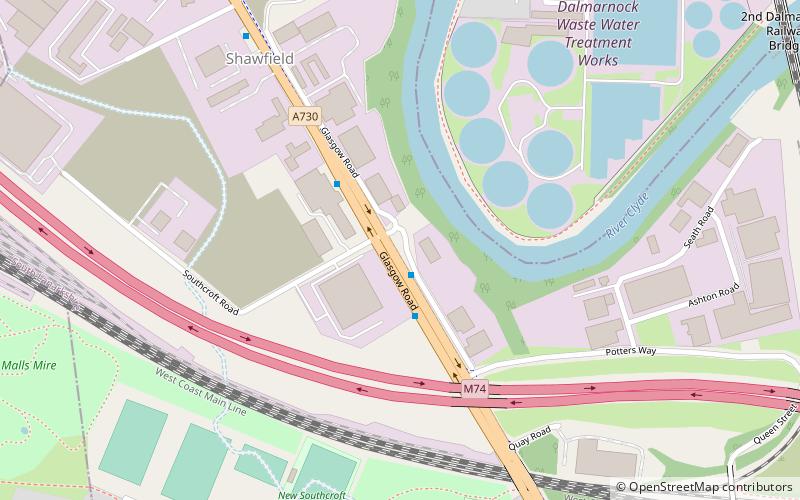
Shawfield is an industrial/commercial area of the Royal Burgh of Rutherglen in South Lanarkshire, Scotland, located to the north of the town centre. It is bordered to the east by the River Clyde, to the north by the Glasgow neighbourhood of Oatlands and the adjacent Richmond Park, to the south-west by Glasgow's Polmadie and Toryglen districts, and to the south-east by Rutherglen's historic Main Street and its Burnhill neighbourhood, although it is separated from these southerly areas by the West Coast Main Line railway tracks and the M74 motorway. A road bridge connects Shawfield to the Dalmarnock, Bridgeton and Glasgow Green areas. ()
East End (Dalmarnock)Glasgow
Shawfield – popular in the area (distance from the attraction)
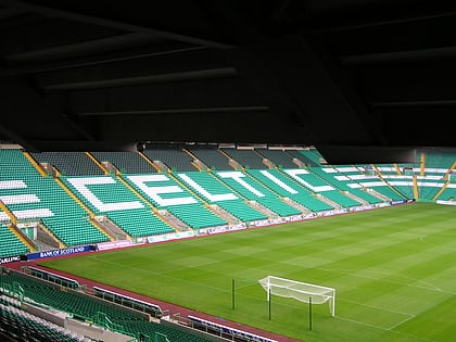
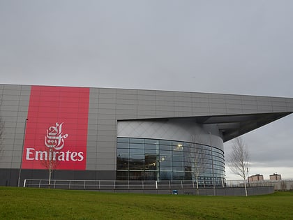
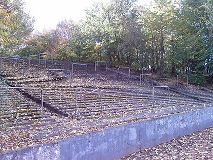
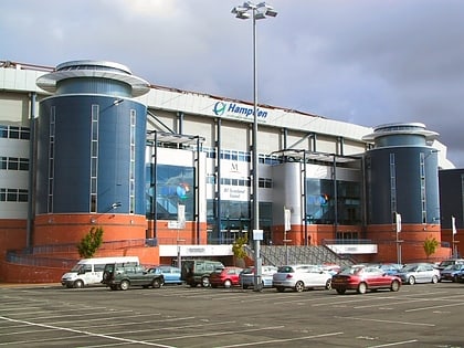
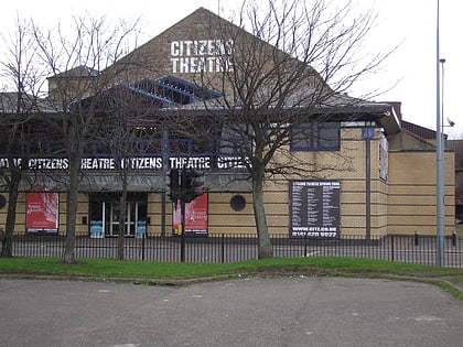
Nearby attractions include: Celtic Park, Hampden Park, Glasgow Green, Sir Chris Hoy Velodrome.
Frequently Asked Questions (FAQ)
Which popular attractions are close to Shawfield?
How to get to Shawfield by public transport?
Train
- Rutherglen (11 min walk)
- Dalmarnock (18 min walk)
Bus
- Castle Street • Lines: 14 (14 min walk)
- Rutherglen Cross • Lines: 14 (16 min walk)

