Stoneyholme, Burnley
Map

Map

Facts and practical information
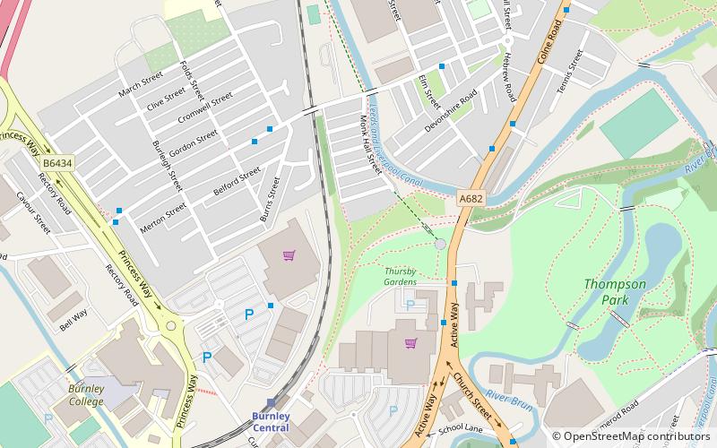
Stoneyholme is a district of Burnley, Lancashire, England, situated immediately north of the town centre. It is bounded by the M65 motorway to the west, and by the railway and the Leeds and Liverpool Canal to the east, and consists of predominantly pre-1919 terraced housing. ()
Coordinates: 53°47'46"N, 2°14'35"W
Address
Burnley
ContactAdd
Social media
Add
Day trips
Stoneyholme – popular in the area (distance from the attraction)
Nearby attractions include: Burnley Way, Weavers' Triangle, Burnley Town Hall, St Andrew's Church.
Frequently Asked Questions (FAQ)
Which popular attractions are close to Stoneyholme?
Nearby attractions include St Peter's Church, Burnley (7 min walk), Thompson Park, Burnley (8 min walk), St Andrew's Church, Burnley (14 min walk), Burnley Embankment, Burnley (15 min walk).
How to get to Stoneyholme by public transport?
The nearest stations to Stoneyholme:
Bus
Train
Bus
- Asda • Lines: 95 (3 min walk)
- Prestige Park • Lines: 5, M3, M4, M5 (3 min walk)
Train
- Burnley Central (5 min walk)
- Burnley Barracks (18 min walk)


