Newcastle Reform Synagogue, Newcastle upon Tyne
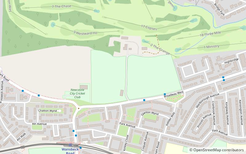
Map
Facts and practical information
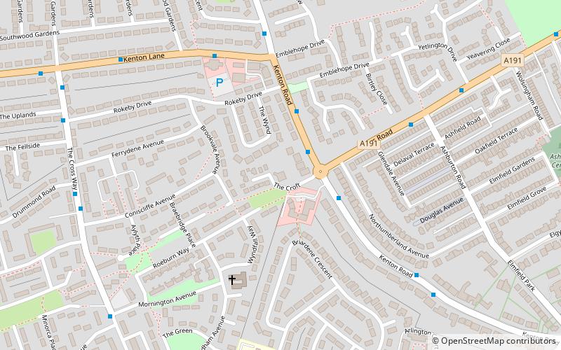
Newcastle Reform Synagogue, also known by its Hebrew name Ner Tamid, is a member of the Movement for Reform Judaism. It is located in Gosforth in Newcastle-upon-Tyne. ()
Coordinates: 55°0'8"N, 1°38'24"W
Address
KentonNewcastle upon Tyne
ContactAdd
Social media
Add
Getting there by public transportation
Public transportation stops near this location
- Bus
- Light rail
 Bus
Bus
- Calculate routeHigh Street-Rosewood Terrace-S/B 21 min walk
- Calculate routeGosforth High Street 21 min walk
- Calculate routeGreat North Road 22 min walk
- Calculate routeFawdon 21 min walk
- Calculate routeWansbeck Road 22 min walk
- Calculate routeRegent Centre 26 min walk
- Calculate routeIlford Road 30 min walk
Day trips


Frequently Asked Questions (FAQ)
Which popular attractions are close to Newcastle Reform Synagogue?
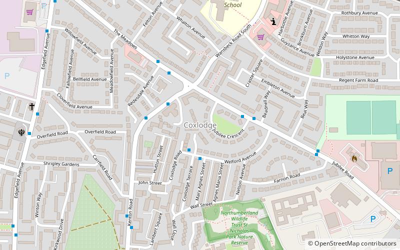
Nearby attractions include Jubilee Theatre, Newcastle upon Tyne (8 min walk), Coxlodge, Newcastle upon Tyne (15 min walk), North Gosforth, Newcastle upon Tyne (19 min walk), Town Moor, Newcastle upon Tyne (20 min walk).
How to get to Newcastle Reform Synagogue by public transport?
The nearest stations to Newcastle Reform Synagogue:
Bus
Light rail
Bus
- High Street-Rosewood Terrace-S/B • Lines: 33, 54 (21 min walk)
- Gosforth High Street • Lines: 33, 54 (21 min walk)
Light rail
- Fawdon • Lines: Green (21 min walk)
- Wansbeck Road • Lines: Green (22 min walk)