Easter Road, Edinburgh
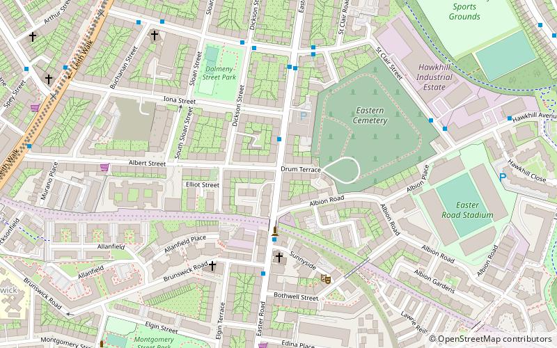
Map
Facts and practical information
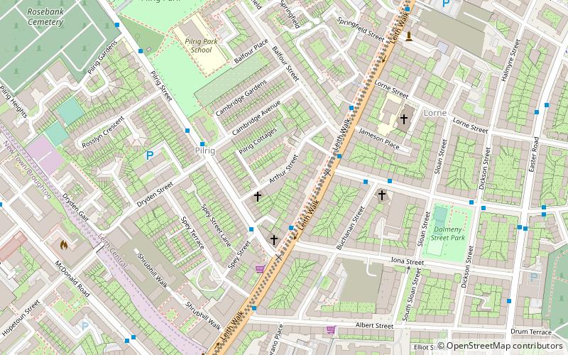
Easter Road is an arterial road in north Edinburgh, the capital of Scotland. The road is so called as it was known as the "Easter road to Leith". As maps of Edinburgh in the late 18th century show, it had a counterpart in "Wester Road". Until the creation of Leith Walk in the middle of the 17th century these were the two main routes from Leith to Edinburgh. Historic personages who have ridden up Easter Road have included Mary, Queen of Scots and Oliver Cromwell. ()
Coordinates: 55°57'44"N, 3°10'16"W
Address
LeithEdinburgh
ContactAdd
Social media
Add
Day trips
Easter Road – popular in the area (distance from the attraction)
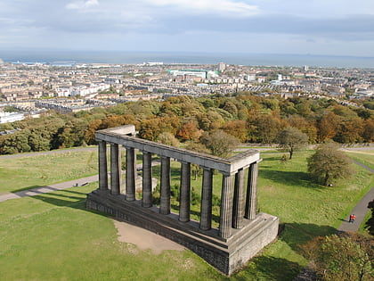
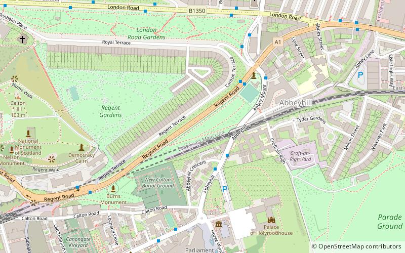
Nearby attractions include: Palace of Holyroodhouse, Calton Hill, Easter Road Stadium, National Monument of Scotland.
Frequently Asked Questions (FAQ)
Which popular attractions are close to Easter Road?
Nearby attractions include Easter Road Stadium, Edinburgh (6 min walk), St Andrew's Ukrainian Catholic Church, Edinburgh (6 min walk), Pilrig, Edinburgh (8 min walk), Rhubaba Gallery and Studios, Edinburgh (9 min walk).
How to get to Easter Road by public transport?
The nearest stations to Easter Road:
Bus
Tram
Train
Bus
- Iona Street • Lines: 1 (2 min walk)
- Brunswick Road • Lines: 1 (3 min walk)
Tram
- St Andrew Square • Lines: Edinburgh Trams Eastbound, Edinburgh Trams Westbound (26 min walk)
- Princes Street • Lines: Edinburgh Trams Eastbound, Edinburgh Trams Westbound (33 min walk)
Train
- Edinburgh Waverley (27 min walk)


