Mary le Port Street, Bristol
Map
Facts and practical information
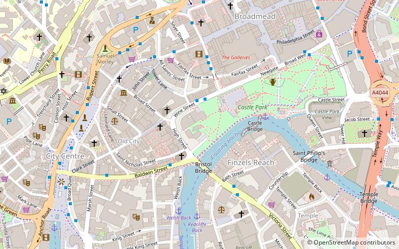
Mary le Port Street was an important thoroughfare from an early stage in the development of the settlement of Bristol, England, linking the area around St Peters Church and, later, Bristol Castle with the Saxon core of the town to the west at High Street, Wine Street, Corn Street and Broad Street. It was heavily damaged by aerial bombing in 1940, and was relegated to an unnamed service road and footway in post-war reconstruction of the area. ()
Coordinates: 51°27'17"N, 2°35'29"W
Address
CabotBristol
ContactAdd
Social media
Add
Getting there by public transportation
Public transportation stops near this location
- Bus
- Train
- Ferry
 Bus
Bus
- Calculate routeWine Street 2 min walk
- Calculate routeBristol Bridge 4 min walk
- Calculate routeNelson Street 4 min walk
- Calculate routeUnion Street 4 min walk
- Calculate routeCity Centre 9 min walk
- Calculate routePrince Street Bridge 13 min walk
- Calculate routeMillennium Square 14 min walk
- Calculate routeHarbour Inlet 19 min walk
- Calculate routePrinces Wharf 14 min walk
- Calculate routeBristol Temple Meads 16 min walk
- Calculate routeSS Great Britain 20 min walk
- Calculate routeMontpelier 25 min walk
Day trips


Frequently Asked Questions (FAQ)
Which popular attractions are close to Mary le Port Street?
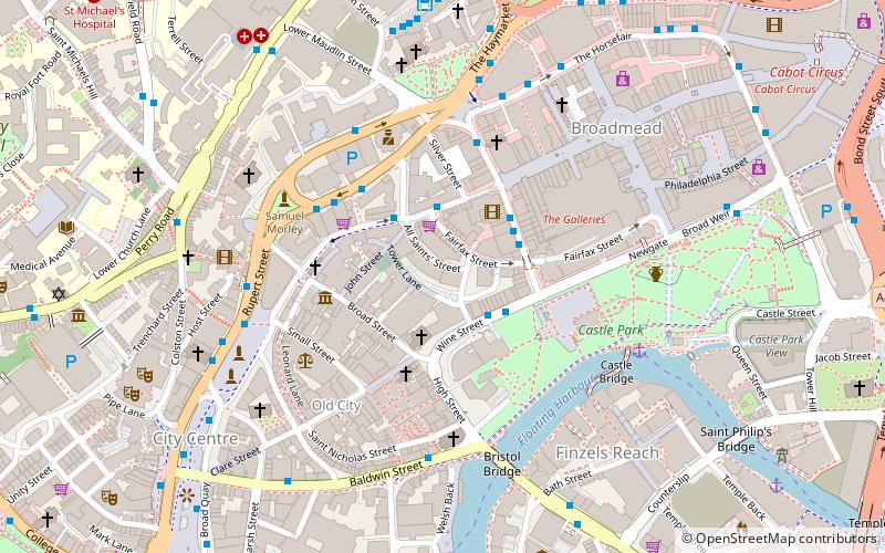
Nearby attractions include St Mary le Port Church, Bristol (1 min walk), Northern Stormwater Interceptor, Bristol (1 min walk), Castle Park, Bristol (2 min walk), Wine Street, Bristol (2 min walk).
How to get to Mary le Port Street by public transport?
The nearest stations to Mary le Port Street:
Bus
Ferry
Train
Bus
- Wine Street • Lines: 92 (2 min walk)
- Bristol Bridge • Lines: 92 (4 min walk)
Ferry
- City Centre • Lines: Hotwells-Centre (9 min walk)
- Prince Street Bridge • Lines: Hotwells-Centre (13 min walk)
Train
- Princes Wharf (14 min walk)
- Bristol Temple Meads (16 min walk)