Hazleton Common, Waterlooville

Gallery (1)
Map
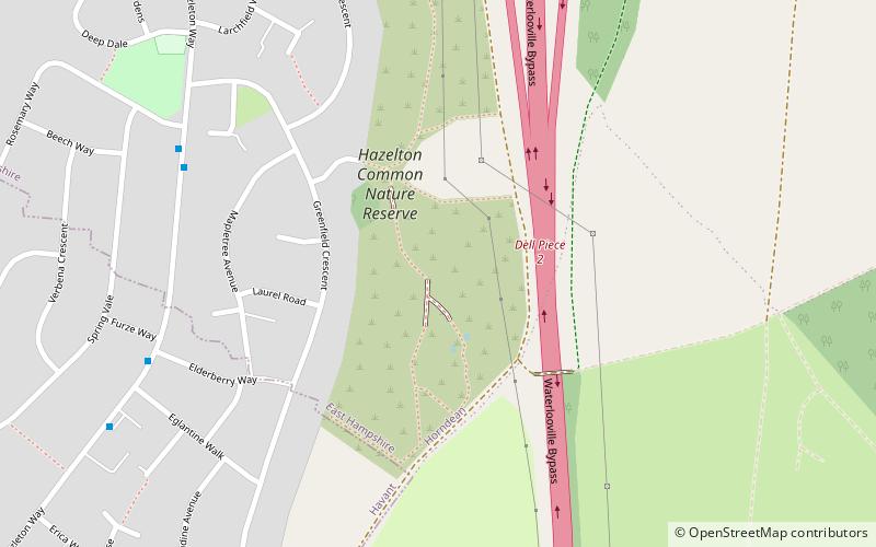
Map
Facts and practical information
Hazleton Common, Horndean is a 17.5-hectare Local Nature Reserve in Horndean in Hampshire. It is owned and managed by Horndean Parish Council. ()
Elevation: 180 ft a.s.l.Coordinates: 50°54'7"N, 1°0'4"W
Address
Waterlooville
ContactAdd
Social media
Add
Day trips