Faringdon House, Faringdon
#4 among attractions in Faringdon


Facts and practical information
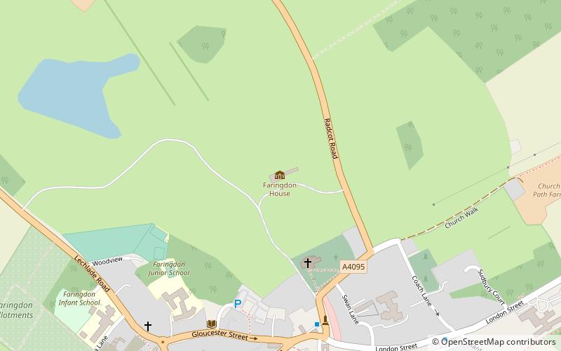
Faringdon House is a Grade I listed 14,510 square feet house in Faringdon, Oxfordshire, England. It was built in about 1770–1785 for the Poet Laureate Sir Henry James Pye. ()
Faringdon United Kingdom
Faringdon House – popular in the area (distance from the attraction)
Nearby attractions include: Trout Inn, Buscot House, St Mary's Church, Westmill Woodland Burial Ground.
 Nightlife
Trout Inn, Lechlade
115 min walk • The Trout Inn is a pub next to the River Thames at Lechlade in the English county of Gloucestershire. The Grade II listed stone building consists of two two-storey structures, one late medieval and the other added in the 18th century.
 Historical place, Park, History museum
Buscot House, Faringdon
73 min walk • Buscot Park is a country house at Buscot near the town of Faringdon in Oxfordshire within the historic boundaries of Berkshire. It was built in an austere neoclassical style between 1780 and 1783 for Edward Loveden Loveden. It remained in the family until sold in 1859 to Robert Tertius Campbell, an Australian.
 Church, Romanesque architecture
St Mary's Church, Bampton
124 min walk • The Church of Saint Mary the Virgin is the Church of England parish church of Bampton, West Oxfordshire. It is in the Archdeaconry of Dorchester in the Diocese of Oxford. The church was built in the 10th or 11th century as an Anglo-Saxon minster with a tower.
 Cemetery
Westmill Woodland Burial Ground
115 min walk • Westmill Woodland Burial Ground is a green burial ground in the Vale of White Horse on the border of Oxfordshire with Wiltshire in southern England.
 Forts and castles
Badbury Hill
48 min walk • Badbury Hill is a hill in the civil parish of Great Coxwell near Faringdon in the English county of Oxfordshire. In 1974 it was transferred from Berkshire. The summit of the hill is the site of an Iron Age hill fort known as Badbury Camp. It is roughly circular in shape, most of which was levelled early in the 19th century.
 51°39'32"N • 1°34'17"W
Faringdon Folly Tower, Faringdon
16 min walk • Historical place, View point, Forts and castles
 Historical place, Mysterious site, Sacred and religious sites
Blowing Stone, Wantage
151 min walk • The Blowing Stone is a perforated sarsen at grid reference SU32412 87083 in Kingston Lisle, which is in the traditional county of Berkshire, but is currently administered as part of Oxfordshire.
 Forts and castles
Cherbury Camp
137 min walk • Cherbury Camp is a multi-vallate hill fort-like earthwork, situated at grid reference SU374963, 1 mi to the north of the village of Charney Bassett in the Vale of White Horse, Oxfordshire, United Kingdom.
 Bridge
Radcot Bridge
56 min walk • Radcot Bridge is a crossing of the Thames in England, south of Radcot, Oxfordshire, and north of Faringdon, Oxfordshire which is in the district of that county that was in Berkshire. It carries the A4095 road across the reach above Radcot Lock.
 Bridge
Tenfoot Bridge
119 min walk • Tenfoot Bridge is a wooden footbridge across the River Thames in Oxfordshire, England. It is situated on the reach above Shifford Lock and was built in 1869. It connects Buckland on the south bank to Chimney on the north. The name derives from a pre-existing weir which had a 10-foot-wide flash lock in it.
 Bridge
Old Man's Bridge
71 min walk • Old Man's Bridge is a wooden footbridge across the River Thames in Oxfordshire, England. It is situated on the reach above Rushey Lock, a short way downstream of Radcot Lock. There was formerly a weir known as Old Man's Weir, or alternatively Harper's Weir, which had a footpath across it.
