High Ashurst, Leatherhead
Map
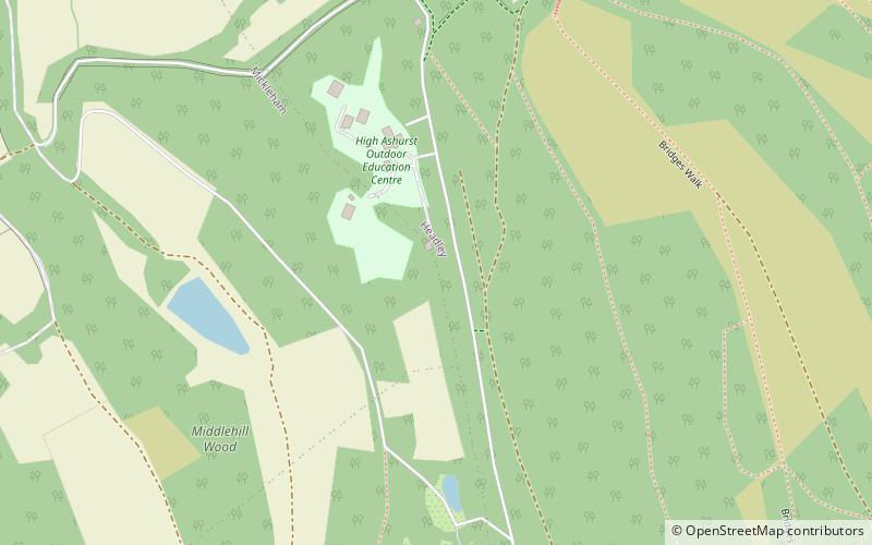
Map

Facts and practical information
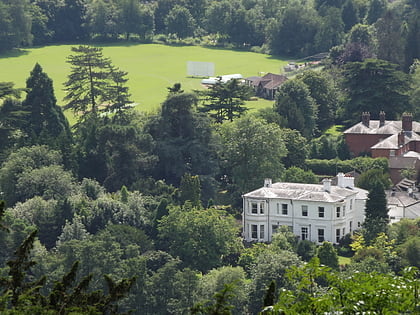
High Ashurst is a large natural site of 56 acres of land in an Area of Outstanding Natural Beauty in North Downs, Surrey. The site has been host to many different people and organisations over the years, but is now a place prized for its outdoor learning opportunities. ()
Coordinates: 51°15'51"N, 0°17'30"W
Day trips
High Ashurst – popular in the area (distance from the attraction)
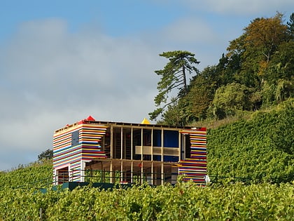
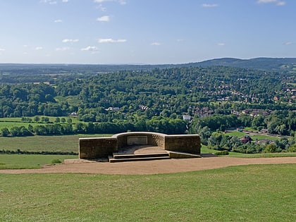
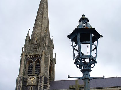
Nearby attractions include: Denbies Wine Estate, Walton Heath Golf Club, Church of St Mary & St Nicholas, Box Hill.
Frequently Asked Questions (FAQ)
How to get to High Ashurst by public transport?
The nearest stations to High Ashurst:
Bus
Train
Bus
- Post Office • Lines: 21 (24 min walk)
- The Tree on Box Hill • Lines: 21 (24 min walk)
Train
- Betchworth (40 min walk)

