Carlyle Square, London
Map
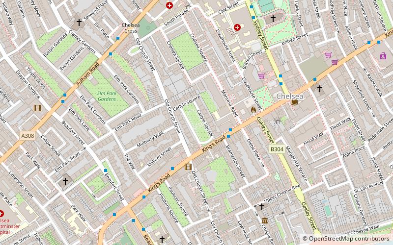
Map

Facts and practical information
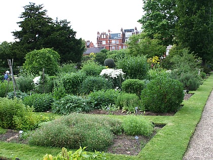
Carlyle Square is a garden square off the King's Road in London's Chelsea district, SW3. The square was laid out on market gardens and was originally called Oakley Square. It was later named in honour of the writer Thomas Carlyle in 1872. ()
Coordinates: 51°29'12"N, 0°10'22"W
Address
Kensington and Chelsea (Chelsea)London
ContactAdd
Social media
Add
Day trips
Carlyle Square – popular in the area (distance from the attraction)
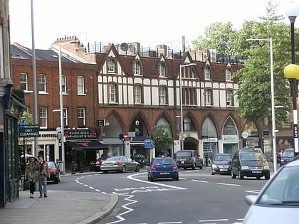
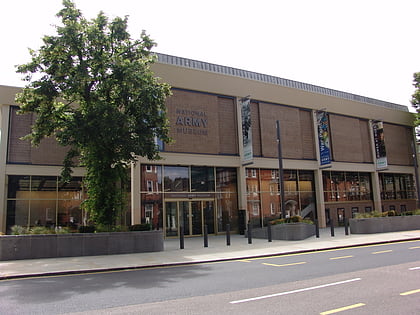
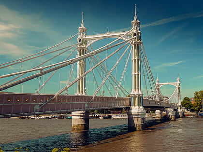
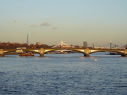
Nearby attractions include: King's Road, National Army Museum, Albert Bridge, Battersea Bridge.
Frequently Asked Questions (FAQ)
Which popular attractions are close to Carlyle Square?
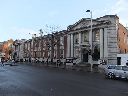
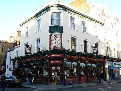
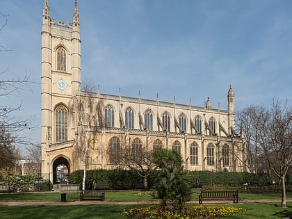
Nearby attractions include King's Road, London (5 min walk), Chelsea Old Town Hall, London (6 min walk), Church of Our Most Holy Redeemer and St Thomas More, London (6 min walk), Fulham Road Jewish Cemetery, London (6 min walk).
How to get to Carlyle Square by public transport?
The nearest stations to Carlyle Square:
Bus
Ferry
Metro
Train
Bus
- Carlyle Square • Lines: 11, 19, 22, 319, 49, N11, N19, N22 (2 min walk)
- Old Church Street • Lines: 11, 19, 22, 319, 49, N11, N19, N22 (3 min walk)
Ferry
- Cadogan Pier • Lines: Rb6 (10 min walk)
- Chelsea Harbour Pier • Lines: Rb6 (24 min walk)
Metro
- South Kensington • Lines: Circle, District, Piccadilly (13 min walk)
- Gloucester Road • Lines: Circle, District, Piccadilly (19 min walk)
Train
- Imperial Wharf (24 min walk)
- Battersea Park (32 min walk)

 Tube
Tube