Brydges Place, London
Map

Map

Facts and practical information
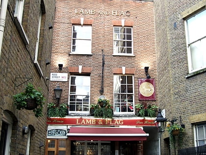
Brydges Place is an alley between St Martin's Lane and Bedfordbury in the City of Westminster, Greater London, running alongside the Coliseum. It is especially narrow, being just 1 foot 3 inches wide at one point, and so is commonly claimed to be the narrowest street in London. although in fact Emerald Court, near Great Ormond Street Hospital is narrower. ()
Coordinates: 51°30'35"N, 0°7'34"W
Address
City of Westminster (St. James's)London
ContactAdd
Social media
Add
Day trips
Brydges Place – popular in the area (distance from the attraction)
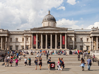
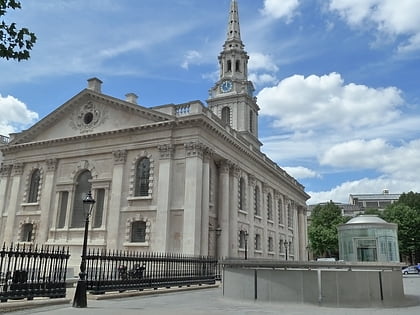
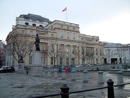
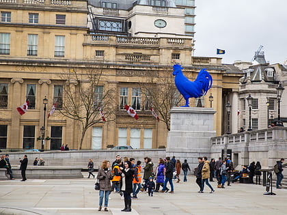
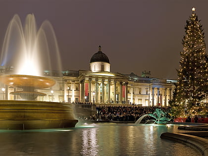
Nearby attractions include: National Gallery, Trafalgar Square, St Martin-in-the-Fields, Canada House.
Frequently Asked Questions (FAQ)
Which popular attractions are close to Brydges Place?
Nearby attractions include London Coliseum, London (1 min walk), Edith Cavell Memorial, London (2 min walk), Duke of York's Theatre, London (2 min walk), St Martin-in-the-Fields, London (2 min walk).
How to get to Brydges Place by public transport?
The nearest stations to Brydges Place:
Bus
Metro
Train
Ferry
Bus
- Charing Cross Station • Lines: N26 (3 min walk)
- Bedford Street • Lines: N26 (4 min walk)
Metro
- Charing Cross • Lines: Bakerloo, Northern (4 min walk)
- Leicester Square • Lines: Northern, Piccadilly (4 min walk)
Train
- Charing Cross (5 min walk)
- London Waterloo (20 min walk)
Ferry
- Embankment • Lines: Green Tour, Rb1, Rb1X, Rb2, Rb6 (8 min walk)
- Festival Pier • Lines: Green Tour (11 min walk)

 Tube
Tube