Grovelands Park, London
Map

Gallery

Facts and practical information
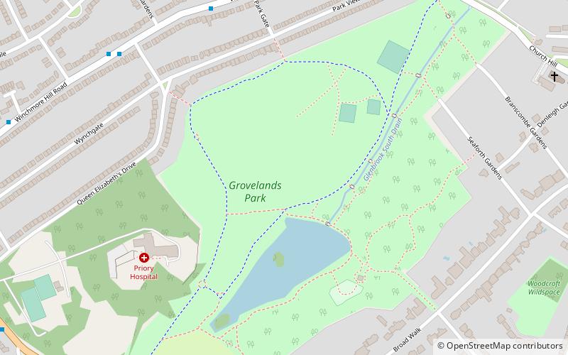
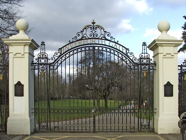
Grovelands Park is a public park in Southgate and Winchmore Hill, London, that originated as a private estate. The park is Grade II* listed on the Register of Historic Parks and Gardens. ()
Elevation: 184 ft a.s.l.Coordinates: 51°38'1"N, 0°6'51"W
Address
Enfield (Winchmore Hill)London
ContactAdd
Social media
Add
Day trips
Grovelands Park – popular in the area (distance from the attraction)
Nearby attractions include: Broomfield Park, Grange Park Methodist Church, Southgate Methodist Church, Trent Park Golf Club.
Frequently Asked Questions (FAQ)
Which popular attractions are close to Grovelands Park?
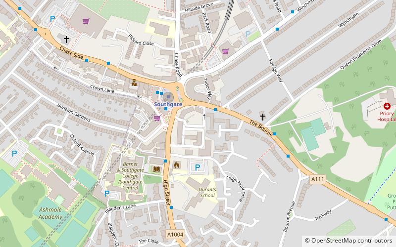
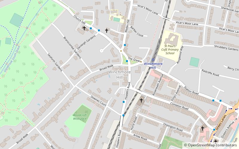
Nearby attractions include Southgate Methodist Church, London (11 min walk), Winchmore Hill, London (12 min walk), Southgate, London (15 min walk), Oakwood, London (23 min walk).
How to get to Grovelands Park by public transport?
The nearest stations to Grovelands Park:
Bus
Train
Metro
Bus
- Park Gate • Lines: 125, 616, 699 (7 min walk)
- Queen Elizabeth's Drive • Lines: 125, 616, 699 (7 min walk)
Train
- Winchmore Hill (15 min walk)
- Grange Park (26 min walk)
Metro
- Southgate • Lines: Piccadilly (16 min walk)
- Oakwood • Lines: Piccadilly (32 min walk)

 Tube
Tube


