Palmers Green, London

Gallery (1)
Map
Map
Facts and practical information
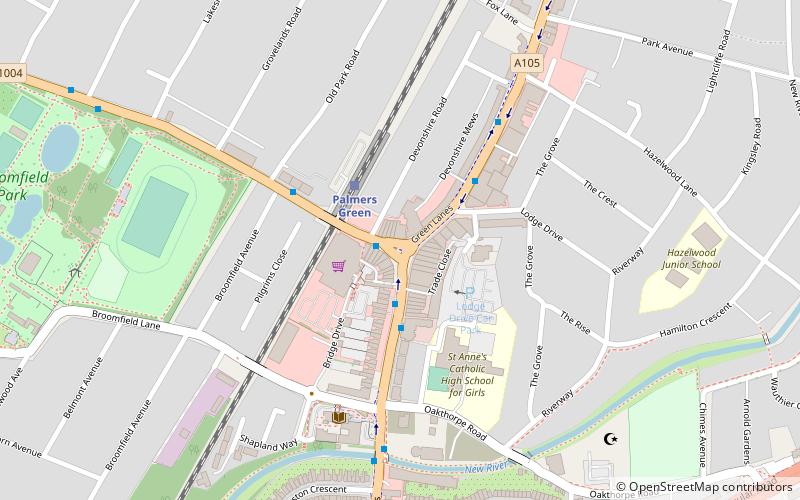
Palmers Green is a suburban area and electoral ward in North London, England, within the London Borough of Enfield. It is located within the N13 postcode district, around 8 miles north of Charing Cross. It is home to the largest population of Greek Cypriots outside Cyprus and is often nicknamed "Little Cyprus" or "Palmers Greek". ()
Coordinates: 51°37'4"N, 0°6'33"W
Getting there by public transportation
Public transportation stops near this location
- Metro
- Bus
- Train
 Metro
Metro
- Calculate routePalmers Green / The Triangle 2 min walk
- Calculate routePalmers Green Station 2 min walk
- Calculate routeLodge Drive 4 min walk
- Calculate routeBroomfield Lane 5 min walk
- Calculate routePalmers Green 2 min walk
- Calculate routeBowes Park 23 min walk
- Calculate routeWinchmore Hill 31 min walk
- Calculate routeBounds Green 26 min walk
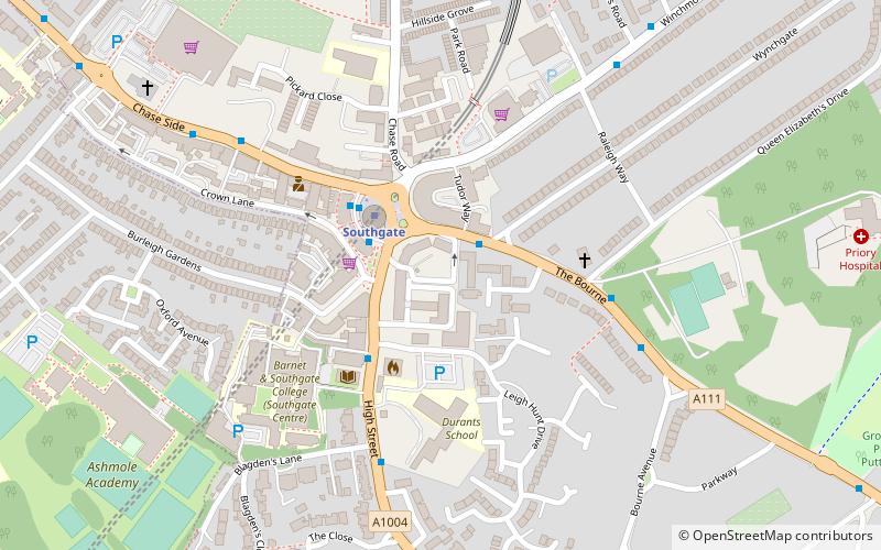
- Calculate routeSouthgate 33 min walk
Maps Tube
Tube
TubeDay trips


Frequently Asked Questions (FAQ)
How to get to Palmers Green by public transport?
The nearest stations to Palmers Green:
Bus
Train
Metro
Bus
- Palmers Green / The Triangle • Lines: 121, 329, 629, N29 (2 min walk)
- Palmers Green Station • Lines: 121, 616, W6 (2 min walk)
Train
- Palmers Green (2 min walk)
- Bowes Park (23 min walk)
Metro
- Bounds Green • Lines: Piccadilly (26 min walk)
- Southgate • Lines: Piccadilly (33 min walk)