Whittington Tump, Worcester


Facts and practical information
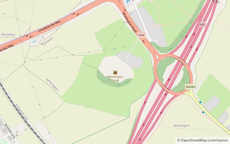
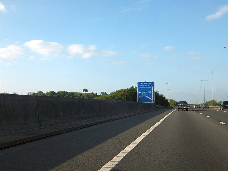
Whittington Tump or Crookbarrow Hill is a partly artificial mound in central Worcestershire, England. There is evidence of prehistoric activity at the site and may have been used as a religious site or burial mound. A Romano-British settlement was established nearby in the early 2nd century AD but was apparently abandoned by the 4th century. An Anglo-Saxon enclosure was established on Whittington Tump by the 7th century and during the mediaeval period it is thought to have been the site of a motte castle. Crookbarrow Manor was established at the foot of the hill by 1314 and the site, including the former motte, was given over to agricultural use. The site was listed as a scheduled monument in 1923 and is a landmark for motorists on the nearby M5 motorway. ()
Worcester
Whittington Tump – popular in the area (distance from the attraction)
Nearby attractions include: Crowngate Shopping Centre, Worcester Cathedral, Worcester Guildhall, The Commandery.
Frequently Asked Questions (FAQ)
How to get to Whittington Tump by public transport?
Bus
- Norton Barracks • Lines: 32B (18 min walk)
- wrong location please delete • Lines: 32, 32B, 332 (19 min walk)
Train
- Worcestershire Parkway (36 min walk)


