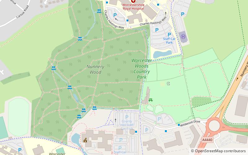
Worcester Woods Country Park, Worcester
Map

Map

Facts and practical information
Worcester Woods Country Park is a country park in Worcester, Worcestershire, England. ()
Elevation: 243 ft a.s.l.Coordinates: 52°11'17"N, 2°10'53"W
Address
Worcester Countryside Centre Wildwood DriveWorcester WR5 2LG
Contact
+44 1905 766155
Social media
Add
Day trips
Worcester Woods Country Park – popular in the area (distance from the attraction)
Nearby attractions include: Crowngate Shopping Centre, Worcester Cathedral, Worcester Guildhall, The Commandery.
Frequently Asked Questions (FAQ)
How to get to Worcester Woods Country Park by public transport?
The nearest stations to Worcester Woods Country Park:
Bus
Bus
- County Hall Boiler House • Lines: 44 (5 min walk)
- Main Entrance • Lines: 44 (5 min walk)


