Port of Ipswich, Ipswich
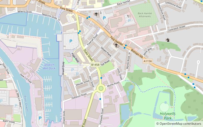
Map

Map

Facts and practical information
The Port of Ipswich can be dated to c.625. The name Ipswich was originally Gippeswyc, referring to the River Gyppes with a suffix derived from the Scandinavian term vik, which had evolved from meaning bay or inlet to mean landing-place, following the proliferation of merchants requiring places to unload their goods and conduct trade. Since 1997 the port has been run by Associated British Ports. ()
Coordinates: 52°2'60"N, 1°10'0"E
Address
South East Ipswich (Holywells)Ipswich
ContactAdd
Social media
Add
Day trips
Port of Ipswich – popular in the area (distance from the attraction)
Nearby attractions include: Sailmakers Shopping Centre, Buttermarket Centre, Portman Road, St Margaret's Church.
Frequently Asked Questions (FAQ)
Which popular attractions are close to Port of Ipswich?
Nearby attractions include Ipswich Dock, Ipswich (7 min walk), University of Suffolk, Ipswich (7 min walk), Holywells Park, Ipswich (8 min walk), Alexandra Park, Ipswich (8 min walk).
How to get to Port of Ipswich by public transport?
The nearest stations to Port of Ipswich:
Bus
Train
Bus
- John Street • Lines: 1, 2 (2 min walk)
- Cavendish Street • Lines: 3, 3E, 4 (3 min walk)
Train
- Derby Road (18 min walk)
- Ipswich (24 min walk)


