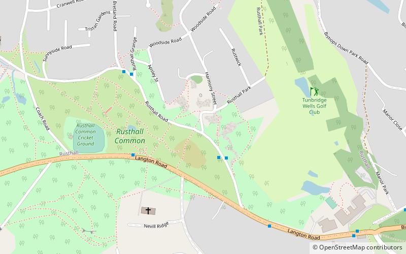
Rusthall Common, Tunbridge Wells
Map

Map

Facts and practical information
Rusthall Common is a 2.7-hectare geological Site of Special Scientific Interest in Rusthall, a suburb of Tunbridge Wells in Kent. It is a Geological Conservation Review site. It is owned by the Manor of Rusthall and managed by Tunbridge Wells Commons Conservators. ()
Coordinates: 51°7'59"N, 0°14'24"E
Address
Tunbridge Wells
ContactAdd
Social media
Add
Day trips
Rusthall Common – popular in the area (distance from the attraction)
Nearby attractions include: Royal Victoria Place, High Rocks, Church of King Charles the Martyr, Trinity Theatre.
Frequently Asked Questions (FAQ)
Which popular attractions are close to Rusthall Common?
Nearby attractions include St Paul's Church, Tunbridge Wells (5 min walk), Friezland Wood, Tunbridge Wells (19 min walk), The Forum, Tunbridge Wells (23 min walk), Great Culverden Park, Tunbridge Wells (24 min walk).
How to get to Rusthall Common by public transport?
The nearest stations to Rusthall Common:
Bus
Train
Bus
- Church • Lines: 231, 291 (4 min walk)
- Langton Road • Lines: 231, 291 (6 min walk)
Train
- Tunbridge Wells West (22 min walk)
- High Rocks (26 min walk)


