Regent's Canal, London
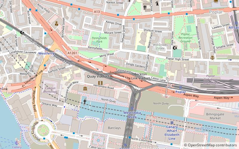
Map

Gallery

Facts and practical information
Regent's Canal is a canal across an area just north of central London, England. It provides a link from the Paddington Arm of the Grand Union Canal, 550 yards north-west of Paddington Basin in the west, to the Limehouse Basin and the River Thames in east London. The canal is 8.6 miles long. ()
Address
Tower Hamlets (Limehouse)London
ContactAdd
Social media
Add
Day trips
Regent's Canal – popular in the area (distance from the attraction)
Nearby attractions include: One Canada Square, Limehouse Basin, The Grapes, King Edward Memorial Park.
Frequently Asked Questions (FAQ)
Which popular attractions are close to Regent's Canal?
Nearby attractions include Limehouse Basin Lock, London (2 min walk), Limehouse Basin, London (4 min walk), Lavender Pond, London (6 min walk), Commercial Road Lock, London (6 min walk).
How to get to Regent's Canal by public transport?
The nearest stations to Regent's Canal:
Light rail
Train
Ferry
Bus
Metro
Light rail
- Limehouse Platform 3 • Lines: B-L, B-Wa, Tg-B (6 min walk)
- Westferry Platform 1 • Lines: B-L, B-Wa, Tg-B (13 min walk)
Train
- Limehouse (7 min walk)
- Shadwell (22 min walk)
Ferry
- Doubletree Docklands Nelson Dock • Lines: Rb4 (11 min walk)
- Canary Wharf • Lines: Rb1, Rb1X, Rb4, Rb6 (12 min walk)
Bus
- Limehouse Police Station • Lines: 277, N277 (12 min walk)
- Westferry Station • Lines: 277, N277 (12 min walk)
Metro
- Canary Wharf • Lines: Jubilee (23 min walk)
- Stepney Green • Lines: District, Hammersmith & City (24 min walk)

 Tube
Tube


