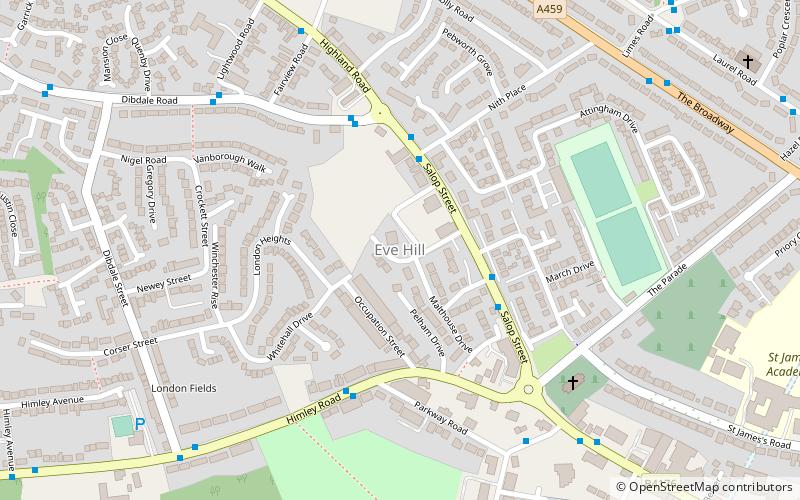
Eve Hill, Dudley
Map

Map

Facts and practical information
Eve Hill is a residential area of Dudley in the West Midlands of England. It was part of Worcestershire until 1966 and briefly part of Staffordshire until 1974. ()
Coordinates: 52°30'54"N, 2°5'54"W
Address
Dudley (St. James's)Dudley
ContactAdd
Social media
Add
Day trips
Eve Hill – popular in the area (distance from the attraction)
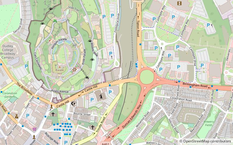
Nearby attractions include: Black Country Living Museum, Dudley Castle, JB's, Dudley Council House.
Frequently Asked Questions (FAQ)
Which popular attractions are close to Eve Hill?
Nearby attractions include Dudley College, Dudley (13 min walk), Priory Park, Dudley (14 min walk), Dudley Museum and Art Gallery, Dudley (15 min walk), Dudley Council House, Dudley (16 min walk).
How to get to Eve Hill by public transport?
The nearest stations to Eve Hill:
Bus
Bus
- Salop St / Nith Place • Lines: 1 (3 min walk)
- Himley Rd / The Grange Park • Lines: 223 (4 min walk)


