Mansewood, Glasgow
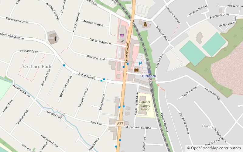
Map
Facts and practical information
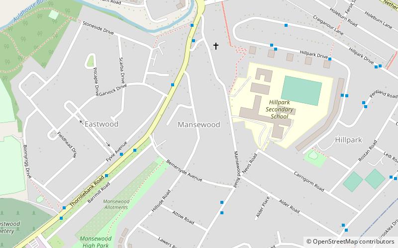
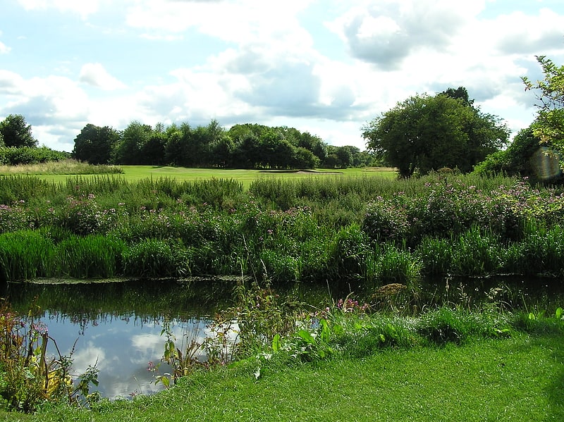
Mansewood is a residential district in the Scottish city of Glasgow. It is situated south of the River Clyde and is surrounded by the districts of Eastwood, Hillpark, Pollokshaws in Glasgow, and Thornliebank and Giffnock in East Renfrewshire. ()
Coordinates: 55°48'55"N, 4°18'7"W
Address
South Side (Newlands)Glasgow
ContactAdd
Social media
Add
Getting there by public transportation
Public transportation stops near this location
- Bus
- Train
 Bus
Bus
- Calculate routeBarrhead Road / Kennishead Road 12 min walk
- Calculate routeKilmarnock Road / Ledi Road 12 min walk
- Calculate routeShawbridge Street / Pollokshaws Police station 12 min walk
- Calculate routeKilmarnock Road / Mulberry Road 13 min walk
- Calculate routeThornliebank 13 min walk
- Calculate routePollokshaws West 16 min walk
- Calculate routeGiffnock 22 min walk
- Calculate routePollokshaws East 23 min walk
Day trips


Frequently Asked Questions (FAQ)
Which popular attractions are close to Mansewood?
Nearby attractions include Auldhouse, Glasgow (10 min walk), Pollokshaws, Glasgow (20 min walk), Kennishead, Glasgow (20 min walk), Giffnock Synagogue, Glasgow (22 min walk).
How to get to Mansewood by public transport?
The nearest stations to Mansewood:
Bus
Train
Bus
- Barrhead Road / Kennishead Road • Lines: 3 (12 min walk)
- Kilmarnock Road / Ledi Road • Lines: 38 (12 min walk)
Train
- Thornliebank (13 min walk)
- Pollokshaws West (16 min walk)