Cowburn Tunnel, Peak District
#209 among attractions in Peak District

Facts and practical information
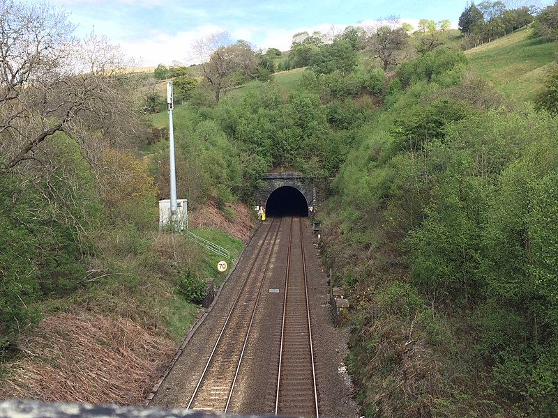
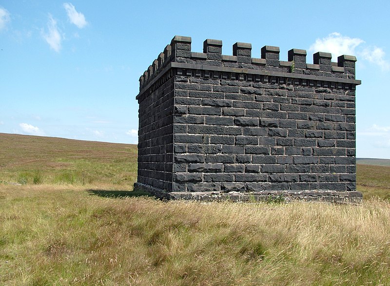
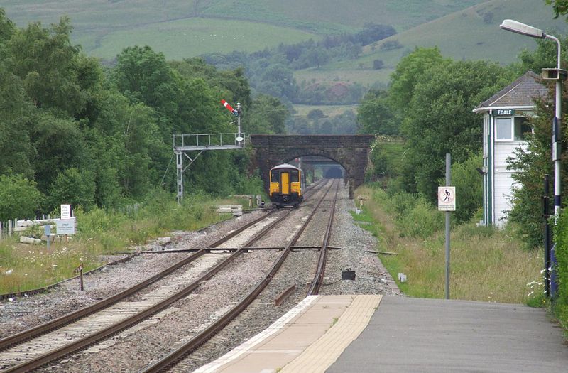
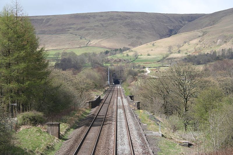
The Cowburn Tunnel is a railway tunnel at the western end of the Vale of Edale in the Derbyshire Peak District of England. The tunnel is 3,702 yards long. It is the deepest railway tunnel in England, at 875 feet. ()
Peak District United Kingdom
Cowburn Tunnel – popular in the area (distance from the attraction)
Nearby attractions include: Odin Mine, Treak Cliff Cavern, Pennine Way, Blue John Cavern.
 Nature, Natural attraction, Cave
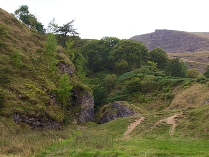
Odin Mine, Peak District
71 min walk • Nestled in the heart of the Peak District, Odin Mine stands as a testament to the region's rich industrial past and has emerged as a distinctive tourist attraction in England. This ancient lead mine, which is one of the oldest documented mines in the country, offers...
 Natural attraction, Cave, Park
Treak Cliff Cavern, Castleton
74 min walk • Treak Cliff Cavern is a show cave near Castleton in Derbyshire, England. It is part of the Castleton Site of Special Scientific Interest and one of only two sites where the ornamental mineral Blue John is still excavated.
 Hiking, Hiking trail
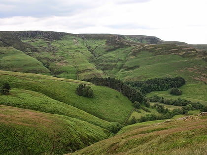
Pennine Way, Edale
58 min walk • The Pennine Way is a National Trail in England, with a small section in Scotland. The trail stretches for 268 miles from Edale, in the northern Derbyshire Peak District, north through the Yorkshire Dales and Northumberland National Park and ends at Kirk Yetholm, just inside the Scottish border.
 Nature, Natural attraction, Cave
Blue John Cavern, Castleton
68 min walk • The Blue John Cavern is one of the four show caves in Castleton, Derbyshire, England.
 Hiking trail, Outdoor activities, Park
Mam Tor, Castleton
61 min walk • Mam Tor is a 517 m hill near Castleton in the High Peak of Derbyshire, England. Its name means "mother hill", so called because frequent landslips on its eastern face have resulted in a multitude of "mini-hills" beneath it.
 Nature, Natural attraction, Mountain
Kinder Scout, Peak District
61 min walk • Kinder Scout is a moorland plateau and national nature reserve in the Dark Peak of the Derbyshire Peak District in England. Part of the moor, at 636 metres above sea level, is the highest point in the Peak District, the highest point in Derbyshire, and the highest point in the East Midlands.
 Valley
Vale of Edale, Peak District
32 min walk • The Vale of Edale is the upper valley of the River Noe, in the Derbyshire Peak District of England. The village of Edale lies in the middle of the valley. Edale Head, on the Kinder Scout plateau, is the source of the River Noe.
 Nature, Natural attraction, Mountain
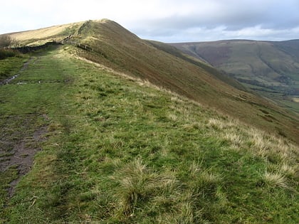
Brown Knoll, Peak District
22 min walk • Brown Knoll is one of the highest hills in the Peak District in central England. It rises to a height of 569 metres above the head of the Edale valley and about 3 kilometres south-southwest of the Peak's highest point, Kinder Scout.
 Nature, Natural attraction, Mountain
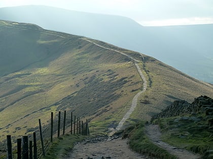
Rushup Edge, Peak District
36 min walk • Rushup Edge is a ridge in the Derbyshire Peak District of England. The ridge's highest point is Lord's Seat at 550 m, while Mam Tor lies at its eastern end, beyond which the Great Ridge runs. Lord's Seat is a round barrow.
 Nature, Natural attraction, Mountain
Hollins Cross, Peak District
74 min walk • Hollins Cross lies between Mam Tor and Lose Hill on the Great Ridge that separates Castleton and Edale in Derbyshire, England. Hollins Cross is the lowest point on the ridge and is therefore a popular route taken by walkers wishing either to cross from one side to the other, or to start a walk along the ridge.
 Nature, Natural attraction, Mountain
Eldon Hill, Peak District
60 min walk • Eldon Hill is a hill in the Peak District National Park in the county of Derbyshire, England, 4 kilometres southwest of the village of Castleton. It is a 470-metre limestone hill whose pastureland is used for rough grazing, although a large proportion has been lost to limestone quarrying.


