Smethwick Junction, Birmingham
Map

Map

Facts and practical information
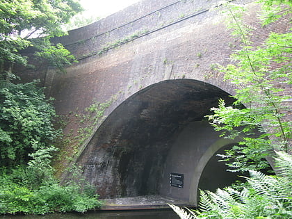
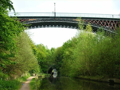
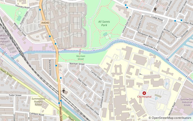
Smethwick Junction is the name of the canal junctions where the Birmingham Canal Navigations Main Line Canal from Birmingham splits into the BCN Old Main Line and the BCN New Main Line near to Smethwick, West Midlands, England. ()
Coordinates: 52°29'56"N, 1°57'31"W
Address
Sandwell (Soho and Victoria)Birmingham
ContactAdd
Social media
Add
Day trips
Smethwick Junction – popular in the area (distance from the attraction)
Nearby attractions include: The Hawthorns, Smethwick Council House, Christ Church, Summit Bridge.
Frequently Asked Questions (FAQ)
Which popular attractions are close to Smethwick Junction?
Nearby attractions include Engine Arm Aqueduct, Birmingham (9 min walk), Smethwick, Birmingham (15 min walk), Galton Valley Canal Heritage Centre, Birmingham (15 min walk), Guru Nanak Gurdwara Smethwick, Birmingham (15 min walk).
How to get to Smethwick Junction by public transport?
The nearest stations to Smethwick Junction:
Tram
Train
Bus
Tram
- Handsworth, Booth Street • Lines: 1 (9 min walk)
- The Hawthorns • Lines: 1 (15 min walk)
Train
- Smethwick Rolfe Street (13 min walk)
- The Hawthorns (14 min walk)
Bus
- Rolfe St / Rolfe St Station • Lines: Sb (15 min walk)
- Boulton Rd / Soho Rd • Lines: Sb (24 min walk)


