North Arapaho Peak, Roosevelt National Forest

Gallery (1)
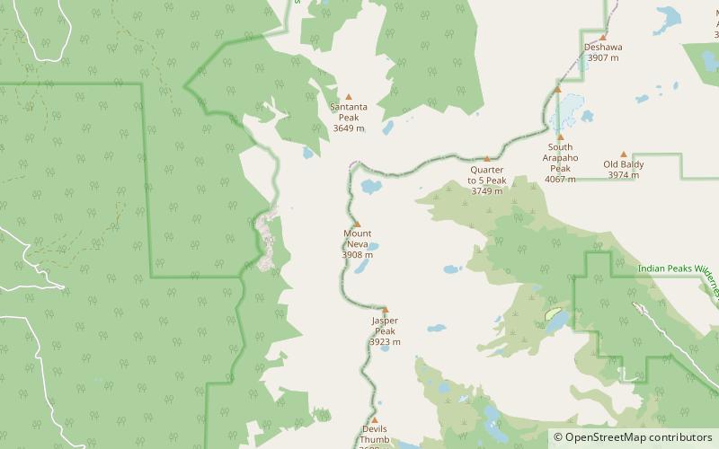
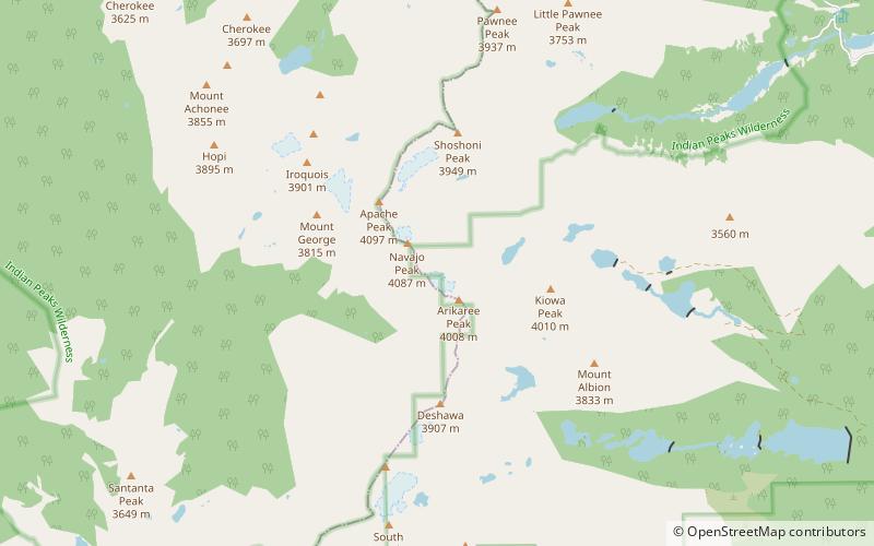
Map
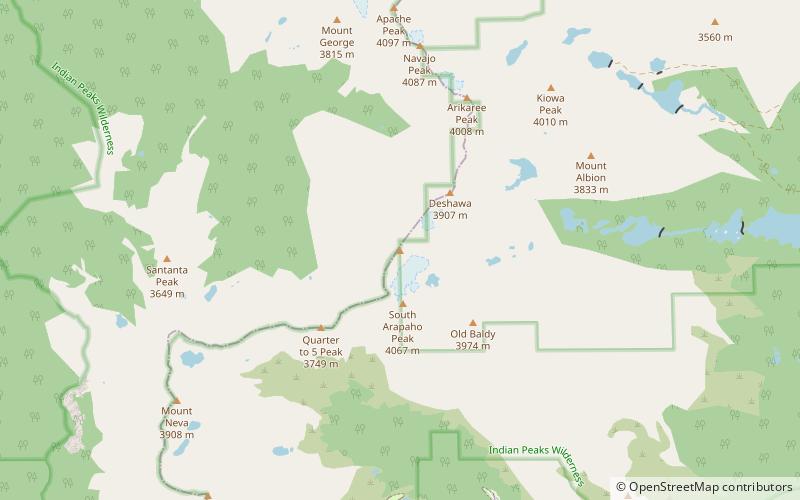
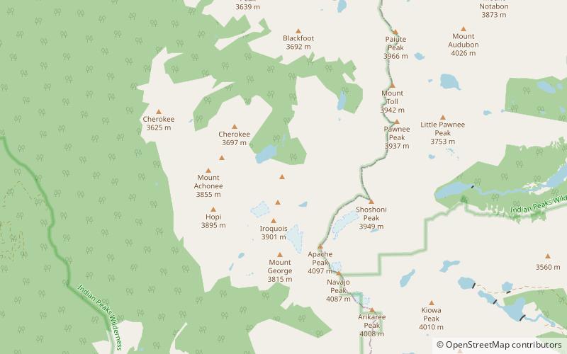
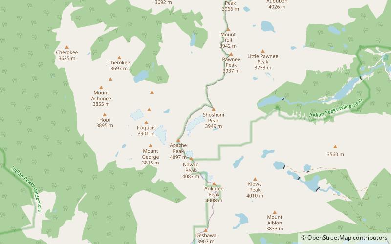
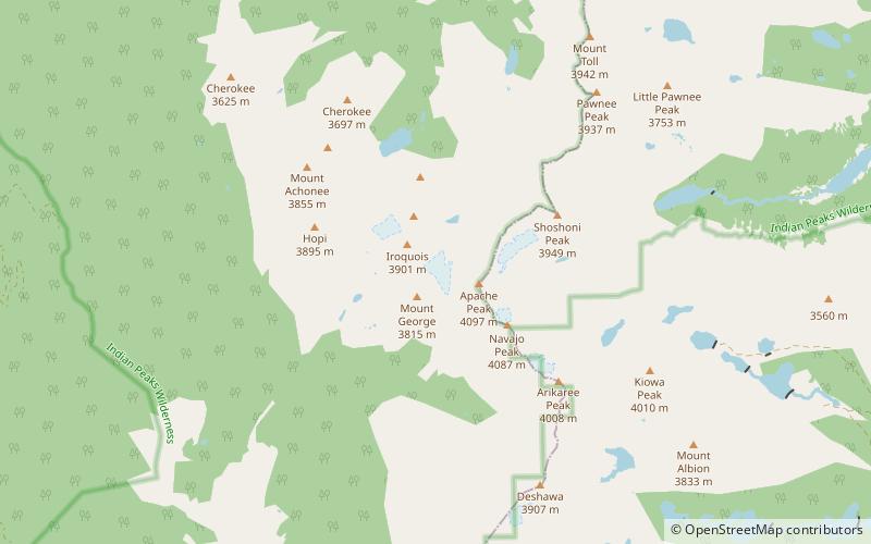
Map
Facts and practical information
North Arapaho Peak is the highest summit of the Indian Peaks in the northern Front Range of the Rocky Mountains of North America. The 13,508-foot thirteener is located in the Indian Peaks Wilderness, 7.8 miles west-southwest of the Town of Ward, Colorado, United States, on the Continental Divide separating Roosevelt National Forest and Boulder County from Arapaho National Forest and Grand County. ()
Elevation: 13508 ftProminence: 1665 ftCoordinates: 40°1'36"N, 105°39'0"W
Address
Roosevelt National Forest
ContactAdd
Social media
Add
Day trips