Arapaho Glacier, Roosevelt National Forest
Map
Map

Facts and practical information
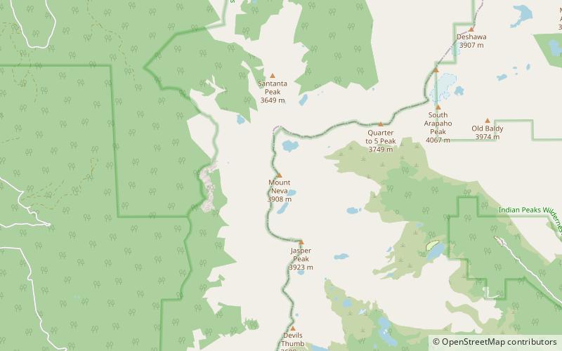
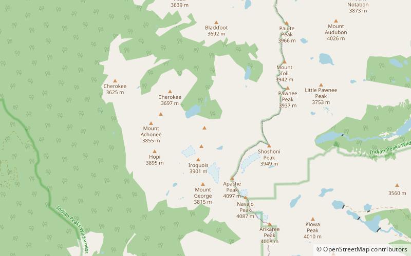
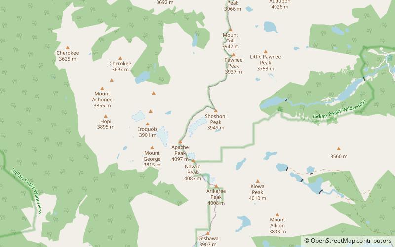
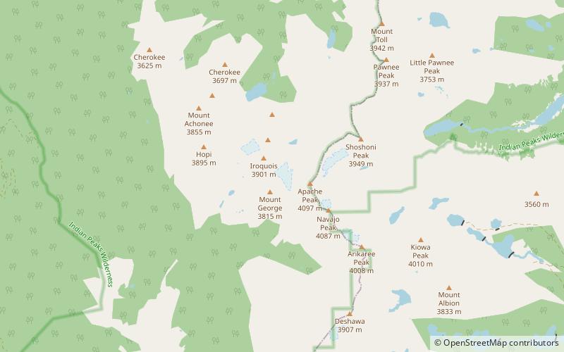
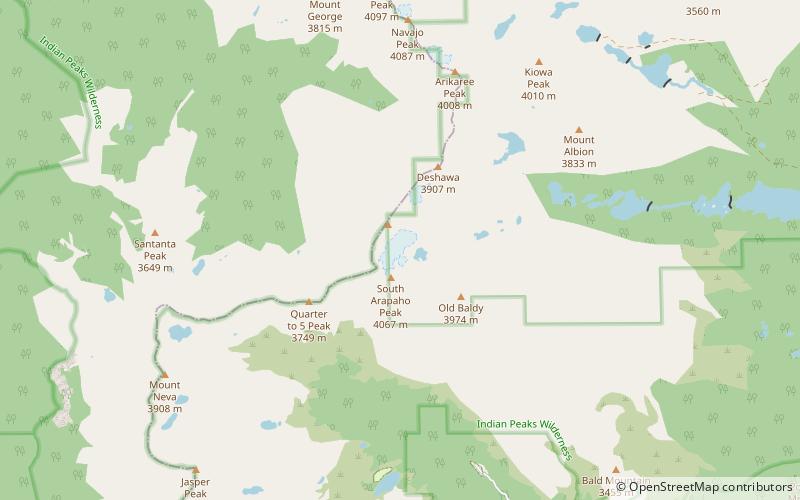
Arapaho Glacier is an alpine glacier in a cirque immediately southeast of North Arapaho Peak, in Roosevelt National Forest in the U.S. state of Colorado. The glacier is just east of the Continental Divide. Arapaho Glacier is the largest glacier in the state of Colorado and helps provide water for the city of Boulder, Colorado. The glacier has a negative glacier mass balance and lost over 52% of its surface area during the 20th Century. ()
Length: 1320 ftCoordinates: 40°1'24"N, 105°38'53"W
Address
Roosevelt National Forest
ContactAdd
Social media
Add
Day trips
Arapaho Glacier – popular in the area (distance from the attraction)
Nearby attractions include: Mount Audubon, North Arapaho Peak, Mount Neva, Fourmile Canyon.


