Left Hand Creek, Roosevelt National Forest

Gallery (1)
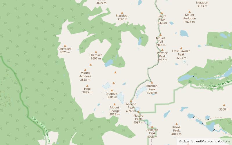
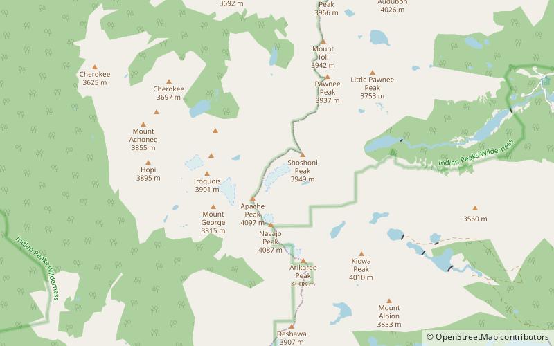
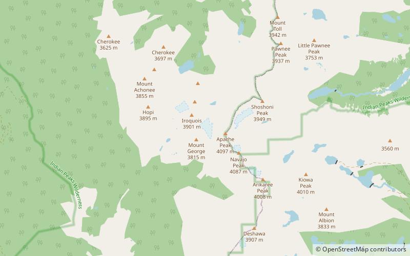
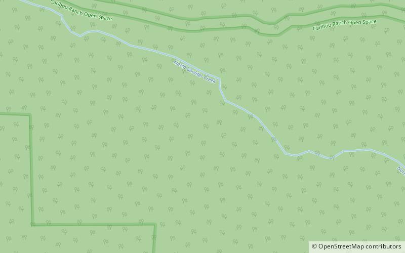
Map
Map
Facts and practical information
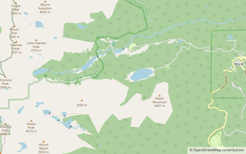
Left Hand Creek is a tributary of Saint Vrain Creek, approximately 33.9 miles long, in Boulder County, Colorado in the United States. The creek drains a section of the foothills of the Front Range northwest of Boulder, descending from the mountains in a steep canyon, known as Left Hand Canyon. Left Hand Creek issues from Left Hand Park Reservoir along the north flank of Niwot Mountain. Flowing through a steep gorge to the East, passing below Ward. It emerges from the foothills North of Boulder and crosses ranch lands the Colorado Piedmont, passing north of Niwot and joining St. Vrain Creek on the South edge of Longmont. ()
Coordinates: 40°4'0"N, 105°34'23"W
Address
Roosevelt National Forest
ContactAdd
Social media
Add
Day trips