Mount Audubon, Indian Peaks Wilderness

Gallery (1)
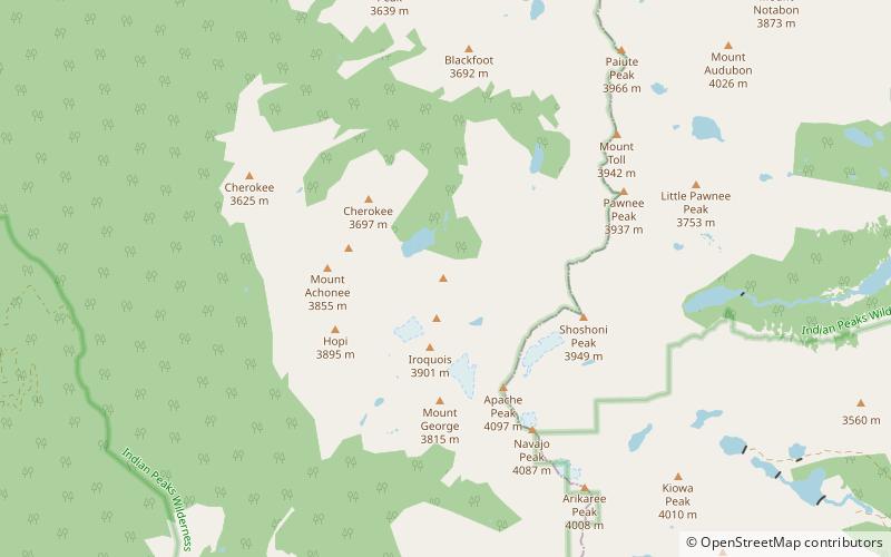
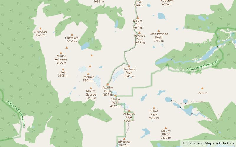
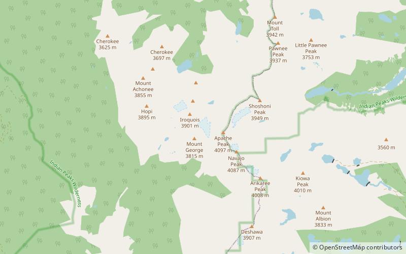
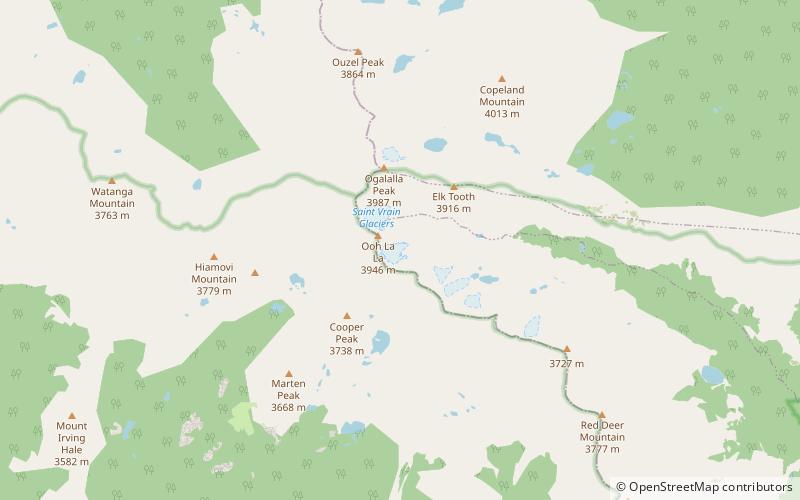
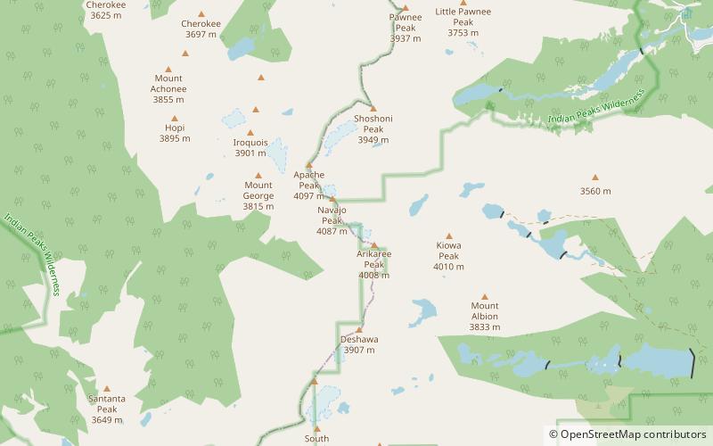
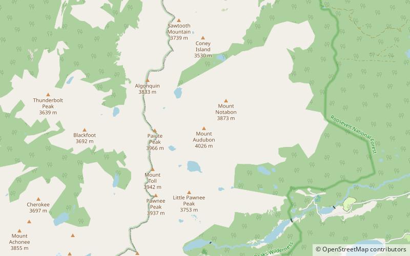
Map
Map
Facts and practical information
Mount Audubon is a high mountain summit of the Indian Peaks in the northern Front Range of the Rocky Mountains of North America. The 13,229-foot thirteener is located in the Indian Peaks Wilderness of Roosevelt National Forest, 5.6 miles west-northwest of the Town of Ward in Boulder County, Colorado, United States. The mountain was named in honor of John James Audubon. ()
Elevation: 13229 ftProminence: 843 ftCoordinates: 40°5'56"N, 105°36'58"W
Address
Indian Peaks Wilderness
ContactAdd
Social media
Add
Day trips