Brickyard Cove, Richmond
Map

Map

Facts and practical information
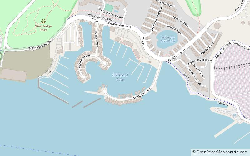
Brickyard Cove Pond is a small lake in the Brickyard Cove District of Richmond, California. It was formed from quarrying of Nicholl's Knob the surrounding hill. It is fed by Brickyard Springs, a series of underground springs. Before the early 20th Century it was a swimming pond for local boys who often went skinny dipping at the lake. However this ceased when local cattle ranchers began dumping manure in the pond. ()
Elevation: 3 ft a.s.l.Coordinates: 37°54'31"N, 122°22'44"W
Address
1120 Brickyard Cove RdPoint RichmondRichmond
ContactAdd
Social media
Add
Day trips
Brickyard Cove – popular in the area (distance from the attraction)
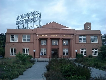
Nearby attractions include: The Plunge, Rosie the Riveter World War II Home Front National Historical Park, SS Red Oak Victory, Golden State Model Railroad Museum.
Frequently Asked Questions (FAQ)
Which popular attractions are close to Brickyard Cove?
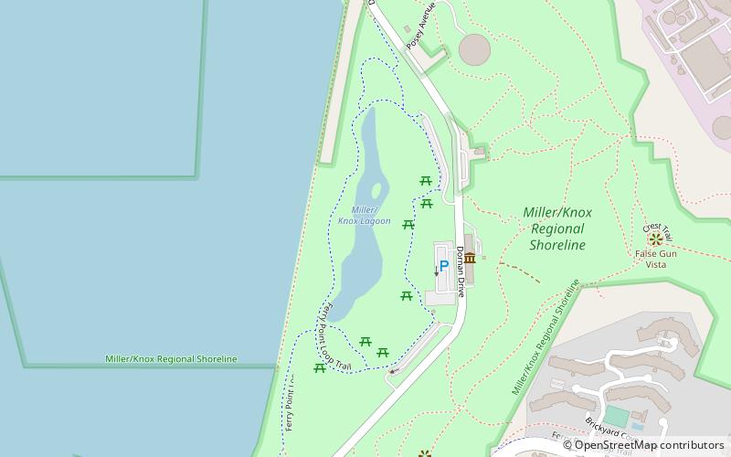
Nearby attractions include Golden State Model Railroad Museum, Richmond (14 min walk), Miller/Knox Lagoon, Richmond (17 min walk), Wapama, Richmond (18 min walk), SS Red Oak Victory, Richmond (21 min walk).
How to get to Brickyard Cove by public transport?
The nearest stations to Brickyard Cove:
Bus
Bus
- Harbour Way South & Ford Point • Lines: 74 (28 min walk)
- South Garrard Boulevard & West Cutting Boulevard • Lines: 72M (31 min walk)


