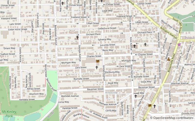
Knoxville, Pittsburgh
Map

Map

Facts and practical information
The Knoxville Junior High School in the Knoxville neighborhood of Pittsburgh, Pennsylvania is a building from 1927. It was listed on the National Register of Historic Places in 1987. ()
Built: 1927 (99 years ago)Coordinates: 40°24'58"N, 79°59'37"W
Day trips
Knoxville – popular in the area (distance from the attraction)
Nearby attractions include: Liberty Bridge, Panhandle Bridge, City Theatre, South Tenth Street Bridge.
Frequently Asked Questions (FAQ)
Which popular attractions are close to Knoxville?
Nearby attractions include Former St. George Roman Catholic Church, Pittsburgh (8 min walk), Brownsville Road, Pittsburgh (11 min walk), Allentown, Pittsburgh (12 min walk), Beltzhoover, Pittsburgh (15 min walk).
How to get to Knoxville by public transport?
The nearest stations to Knoxville:
Light rail
Bus
Light rail
- Bon Air • Lines: Blue, Silver (20 min walk)
- South Hills Junction • Lines: Blue, Red, Silver (20 min walk)
Bus
- South Hills Junction • Lines: 40, 43 (20 min walk)
- Dawn (24 min walk)


