John McLaren Park, San Francisco
Map
Gallery

Facts and practical information
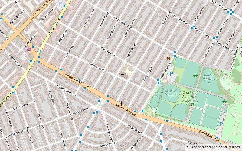
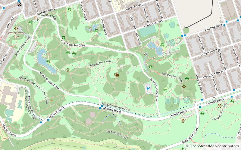
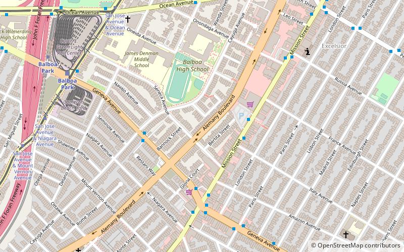
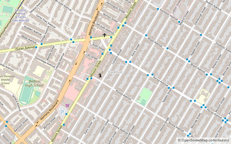
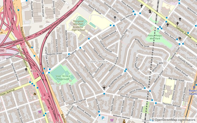
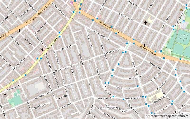
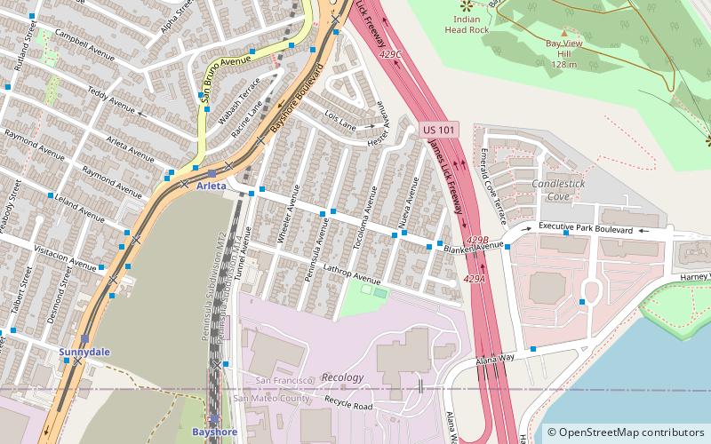
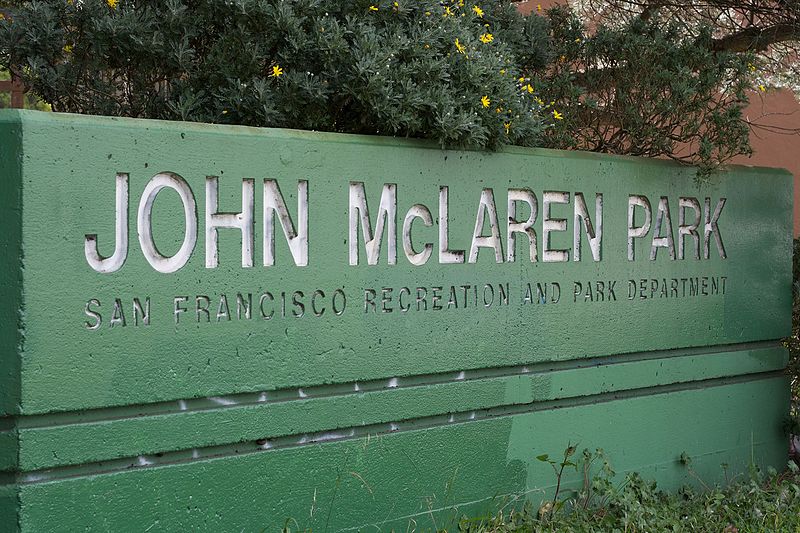
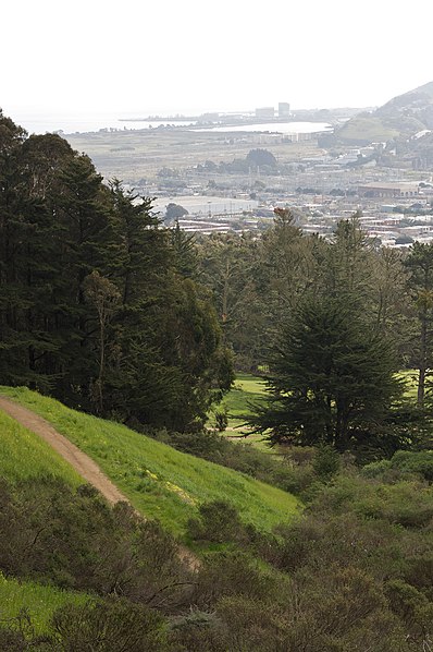
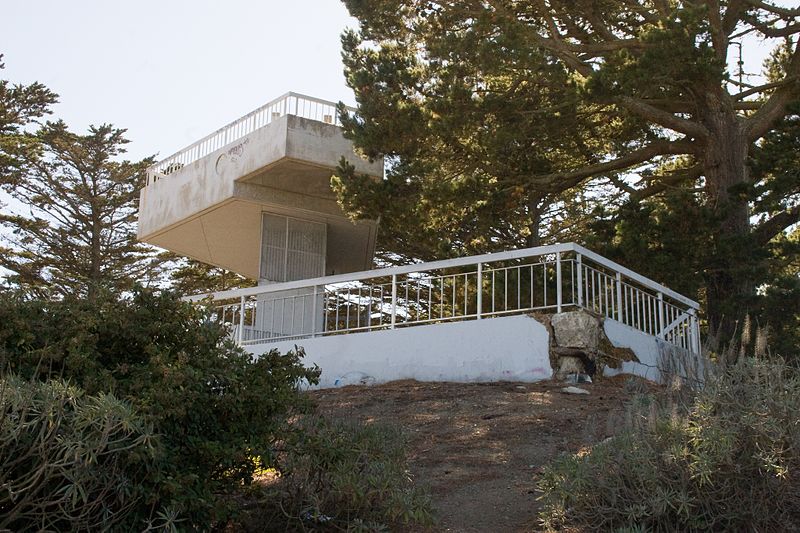
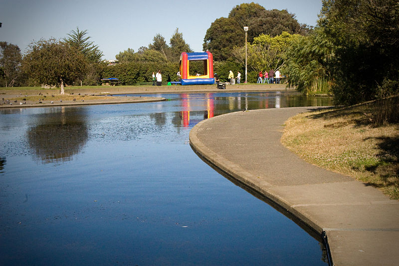
John McLaren Park is a park in southeastern San Francisco. At 312.54 acres, McLaren Park is the third largest park in San Francisco by area, after Golden Gate Park and Presidio. The park is surrounded mostly by the Excelsior, Crocker-Amazon, Visitacion Valley, Portola and University Mound neighborhoods. ()
Created: 1926Elevation: 423 ft a.s.l.Coordinates: 37°43'5"N, 122°25'8"W
Day trips
John McLaren Park – popular in the area (distance from the attraction)
Nearby attractions include: Cow Palace, Philosopher's Way, Church of the Epiphany in San Francisco, Jerry Garcia Amphitheatre.
Frequently Asked Questions (FAQ)
Which popular attractions are close to John McLaren Park?
Nearby attractions include Jerry Garcia Amphitheatre, San Francisco (6 min walk), Bernal Heights, San Francisco (18 min walk), Church of the Epiphany in San Francisco, San Francisco (23 min walk).
How to get to John McLaren Park by public transport?
The nearest stations to John McLaren Park:
Bus
Light rail
Trolleybus
Train
Metro
Bus
- Mansell Street & John F. Shelley Drive • Lines: 29 (2 min walk)
- Persia Avenue & Brazil Avenue • Lines: 29 (6 min walk)
Light rail
- Sunnydale • Lines: T (25 min walk)
- Arleta • Lines: T (26 min walk)
Trolleybus
- Mission Street & Brazil Avenue • Lines: 14 (25 min walk)
Train
- Bayshore (31 min walk)
Metro
- Glen Park • Lines: Blue, Green, Red, Yellow (34 min walk)



 Muni Metro

