Jerry Garcia Amphitheatre, San Francisco
Map
Facts and practical information
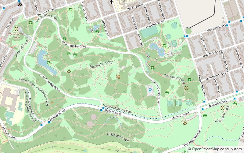
The Jerry Garcia Amphitheater is an outdoor concert venue located in McLaren Park in San Francisco, California. The amphitheater's maximum capacity is 3,200 people. It is named after Grateful Dead band member Jerry Garcia, who once lived in the nearby Excelsior District neighborhood. It is the site of the annual Jerry Day event, at which various musical groups perform. ()
Capacity: 3200Coordinates: 37°43'14"N, 122°25'1"W
Getting there by public transportation
Public transportation stops near this location
- Metro
- Bus
- Trolleybus
- Light rail
- Train
 Metro
Metro
- Calculate routeMansell Street & John F. Shelley Drive 4 min walk
- Calculate routeUniversity Street & Woolsey Street 8 min walk
- Calculate routeWoolsey Street & University Street 8 min walk
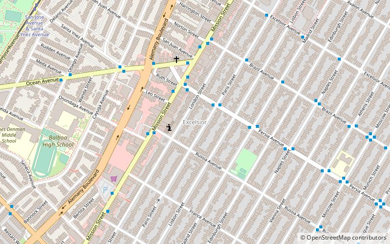
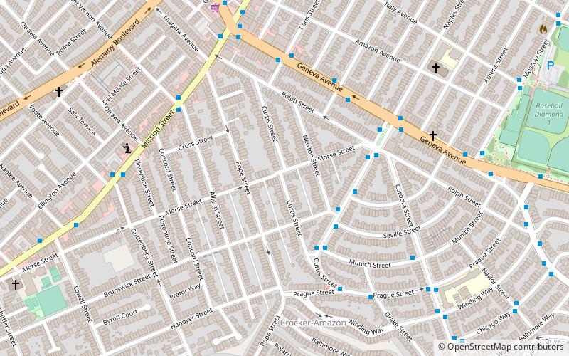
- Calculate routeMission Street & Silver Avenue 25 min walk
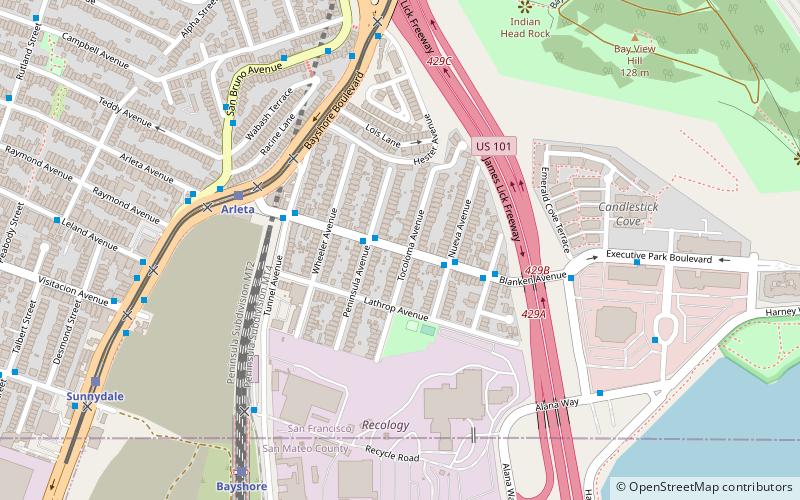
- Calculate routeArleta 26 min walk
- Calculate routeSunnydale 26 min walk
- Calculate routeLe Conte 27 min walk
- Calculate routeGilman/Paul 30 min walk
- Calculate routeBayshore 31 min walk
- Calculate routeGlen Park 33 min walk
Maps Muni Metro
Muni MetroDay trips


Frequently Asked Questions (FAQ)
Which popular attractions are close to Jerry Garcia Amphitheatre?
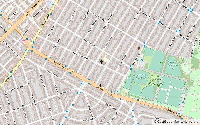
Nearby attractions include John McLaren Park, San Francisco (6 min walk), Bernal Heights, San Francisco (21 min walk).
How to get to Jerry Garcia Amphitheatre by public transport?
The nearest stations to Jerry Garcia Amphitheatre:
Bus
Trolleybus
Light rail
Train
Metro
Bus
- Mansell Street & John F. Shelley Drive • Lines: 29 (4 min walk)
- University Street & Woolsey Street • Lines: 54 (8 min walk)
Trolleybus
- Mission Street & Silver Avenue • Lines: 14 (25 min walk)
Light rail
- Arleta • Lines: T (26 min walk)
- Sunnydale • Lines: T (26 min walk)
Train
- Bayshore (31 min walk)
Metro
- Glen Park • Lines: Blue, Green, Red, Yellow (33 min walk)